Day 11 - Walking The Nakasendō, Japan - A long day of hiking over Kasatoritoge mountain pass in the pouring rain


Day 11 - Walking The Nakasendō, Japan - A long day of hiking over Kasatoritoge mountain pass in the pouring rain
Today was a very challenging and tiring day of walking.
I didn’t intend it to be this long, but the kilometer estimates that are in the Japanese maps and on the road markers are very inaccurate.
Partly it is because a walker walks much longer than a cyclist or a motorist, as lots of steps are walked by crossing roads, zigzagging up mountain paths, etc.
I normally plan to walk 20-25 Kilometers per day, but sometimes it turns out to be much longer.
When I looked at the topography of the area we planned to walk today, I knew that it was going to be a day of climbing up and down hills.
We are entering a mountainous area, and I knew that the roads and the paths we follow will be climbing and descending, following the shape of the land.
If I knew the walk today would be so long, I probably would have skipped the hour we spent lazing around in the Starbucks in the morning.
We had a good breakfast at our hotel, sitting at a table that was over twenty feet long, cut from one piece of wood.
The food was delicious with a variety of Japanese delicacies, including a mushroom Nabé and home made hot tofu, small fish stewed in soy and Mirin, a purple rice with mung beans, and other tasty things.
The friendly owner wished us good luck on our long walk, expressed her admiration at the magnitude of the journey, and asked us to be careful and mindful.
She also gave us some lollipops for the road.
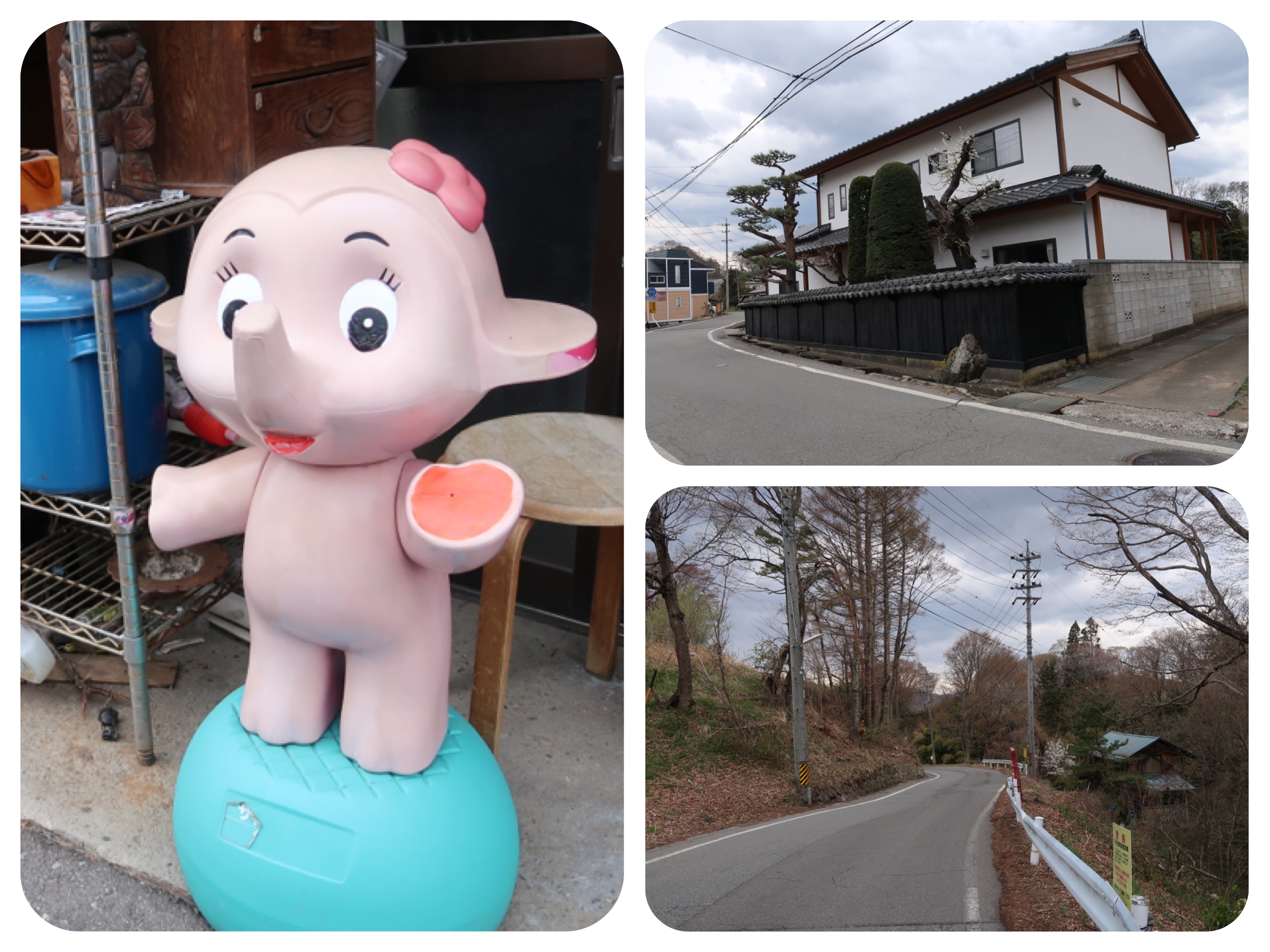
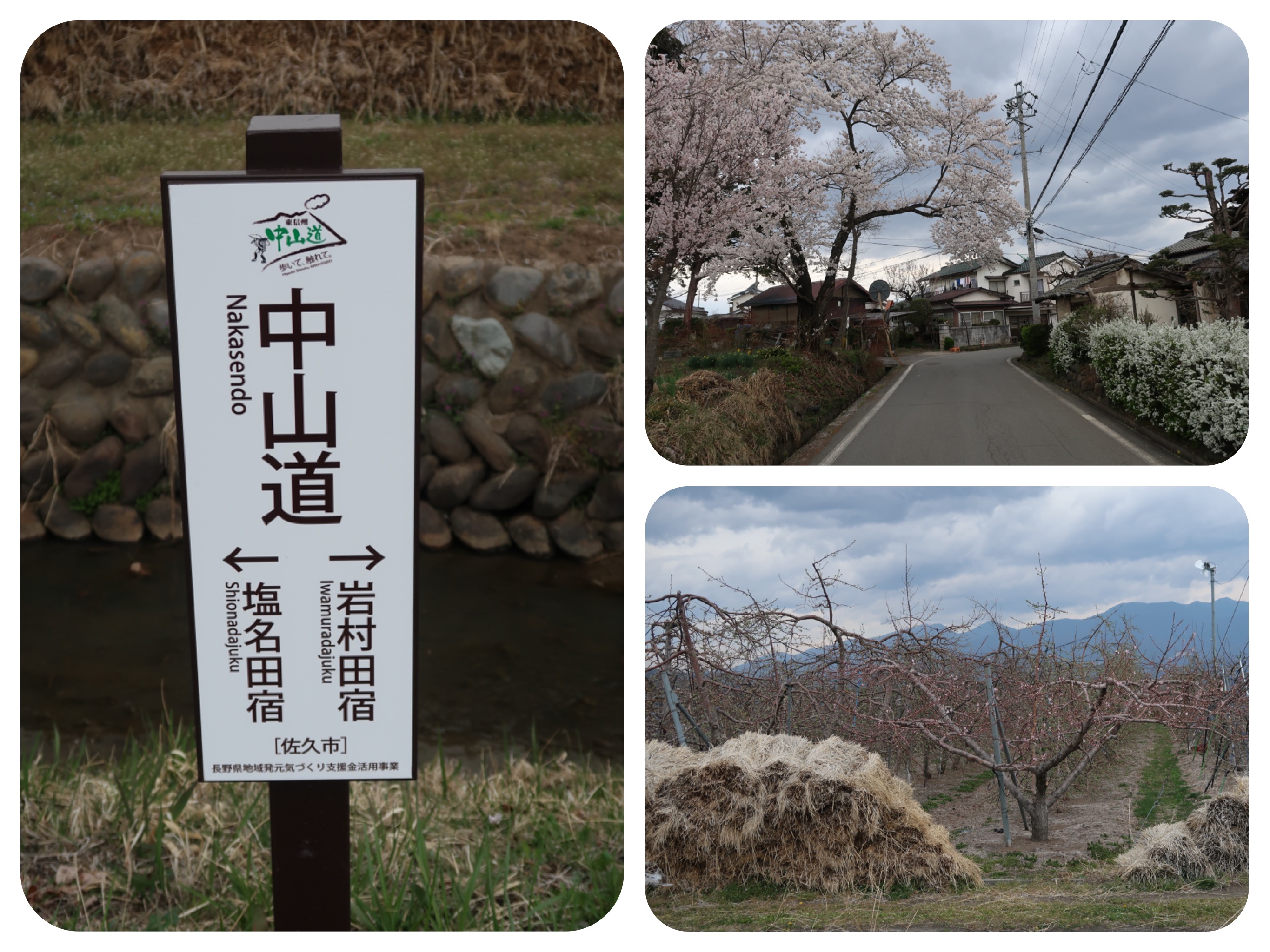
We walked down the Nakasendo towards downtown Saku.
It was only a 1.5 km detour to the Starbucks.
It was morning time and we were refreshed, so a detour was not too bad an idea.
Late in the day, after hours of walking, any detour would have been absolutely out of the question.
A rest in the Starbucks was a welcome thing, since we knew that we would not find many open cafes along the road, if any, and we wanted soy drinks and
to check our e-mail, since the ryokan’s WiFi was barely operating.
The weather looked overcast, but not rainy, and not too cold.
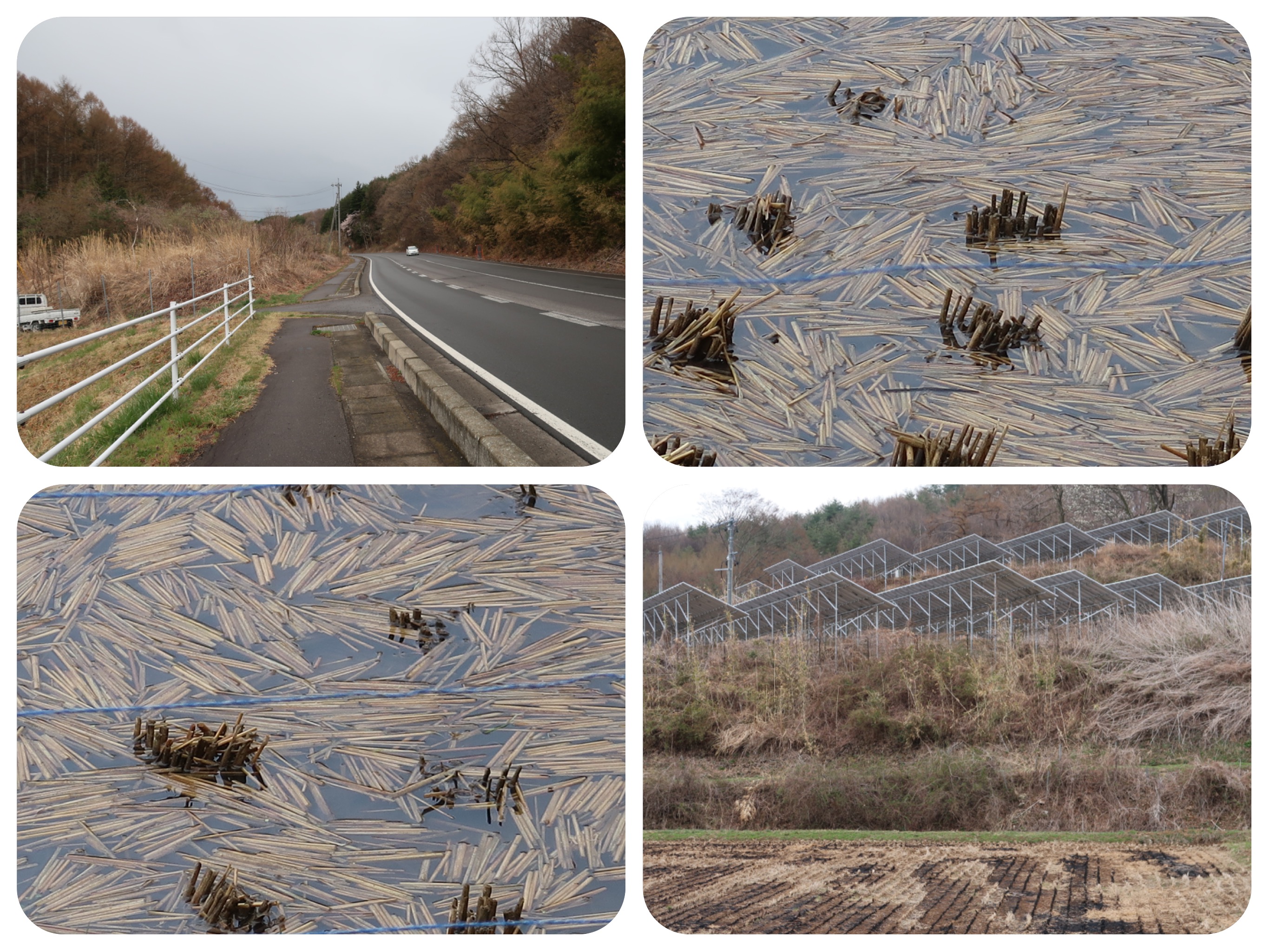
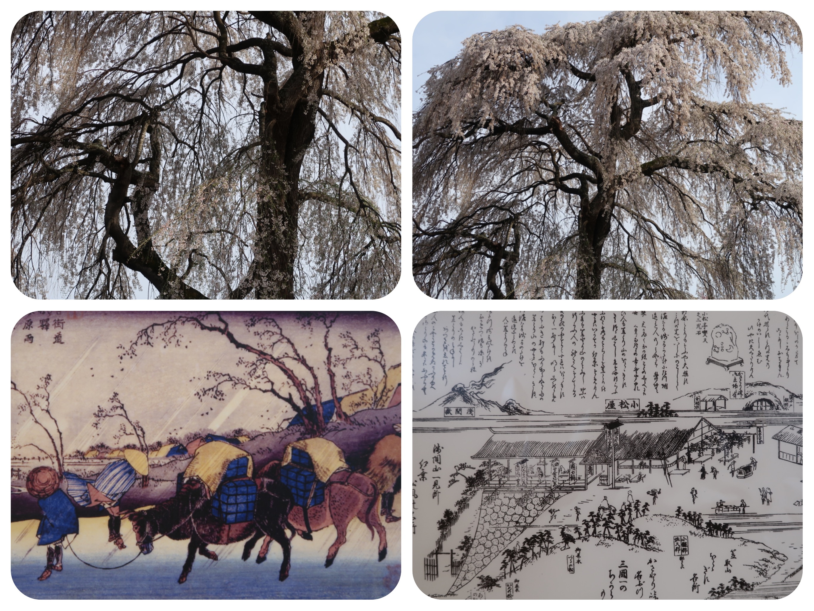
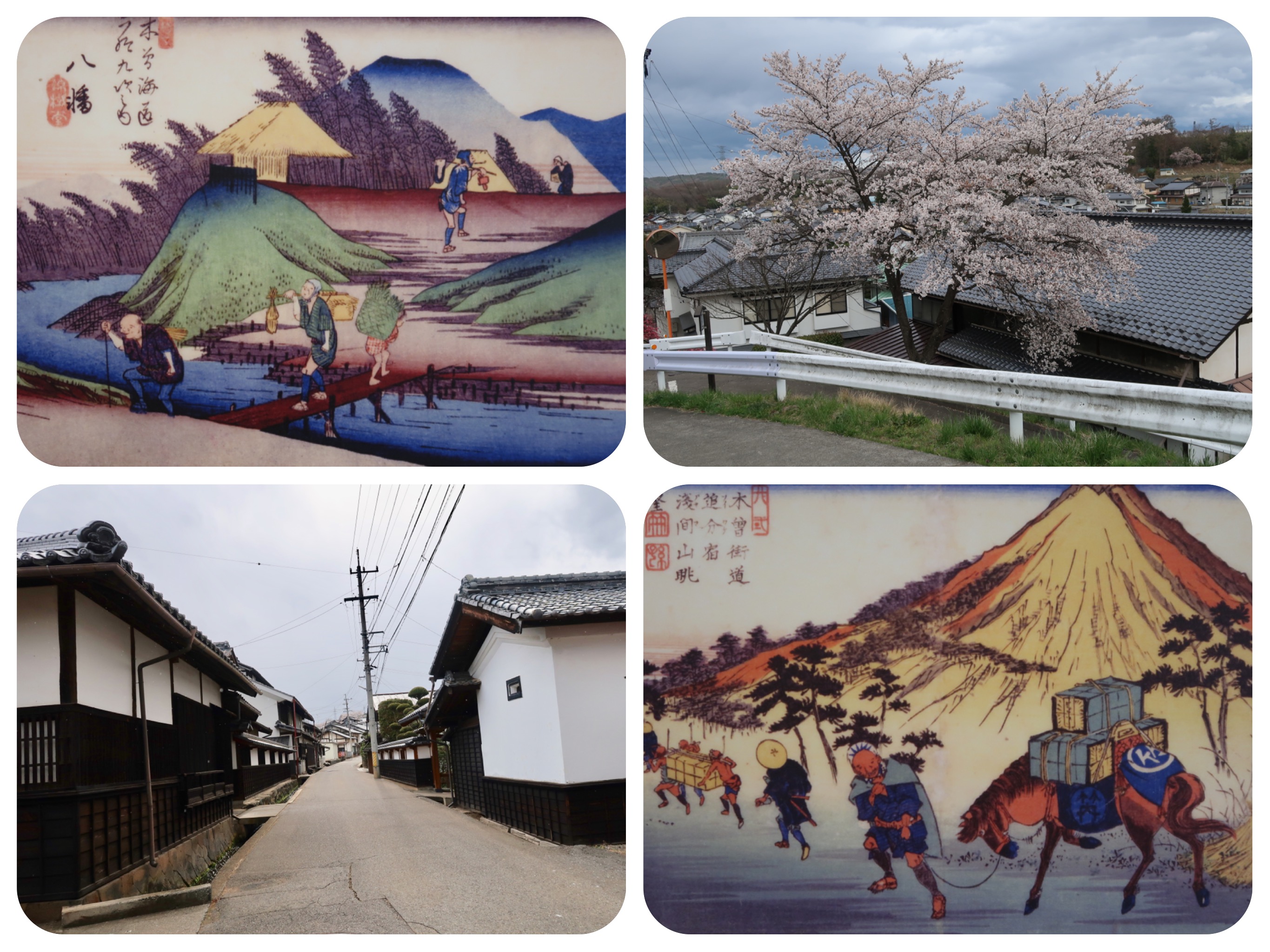
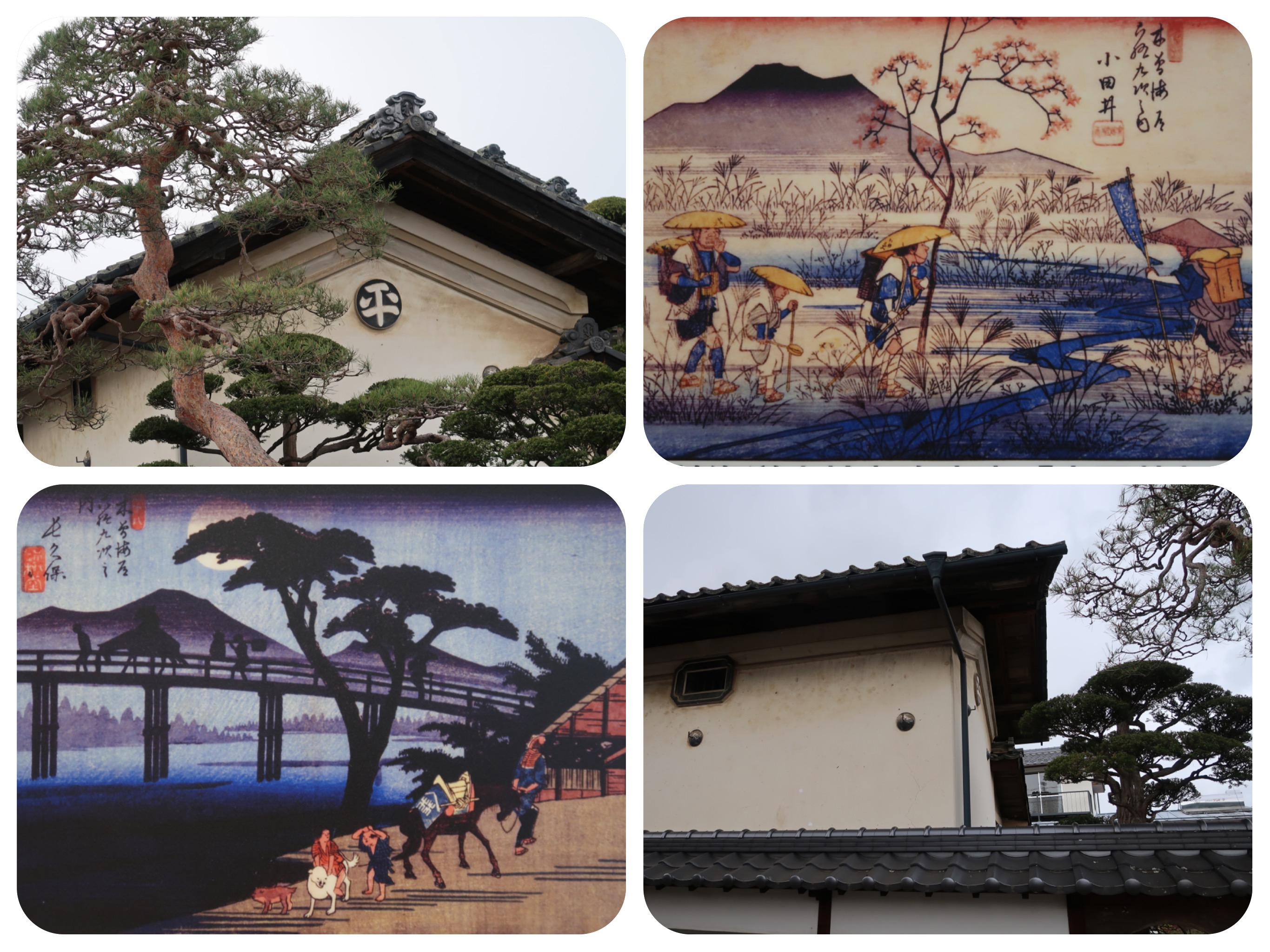
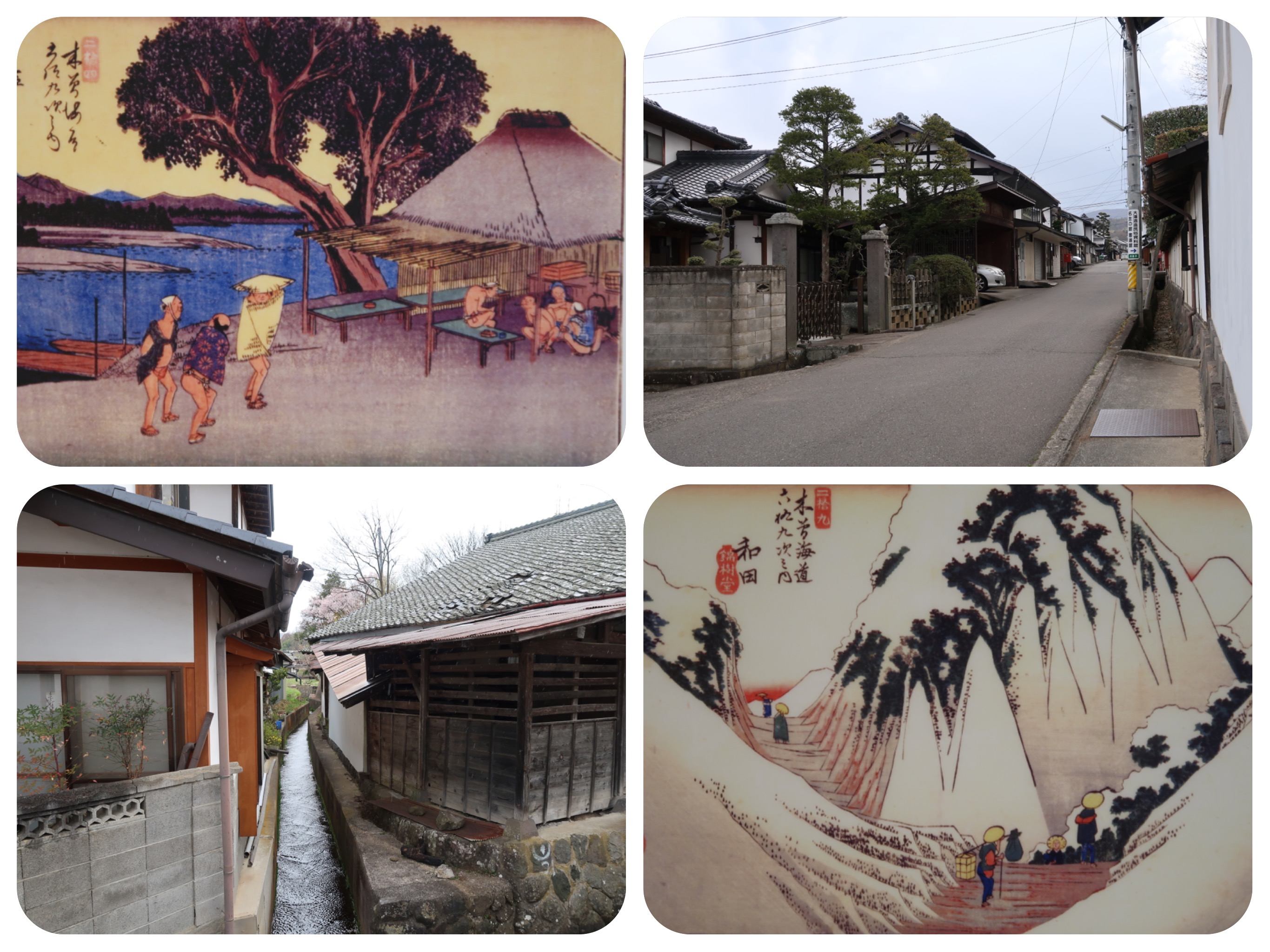
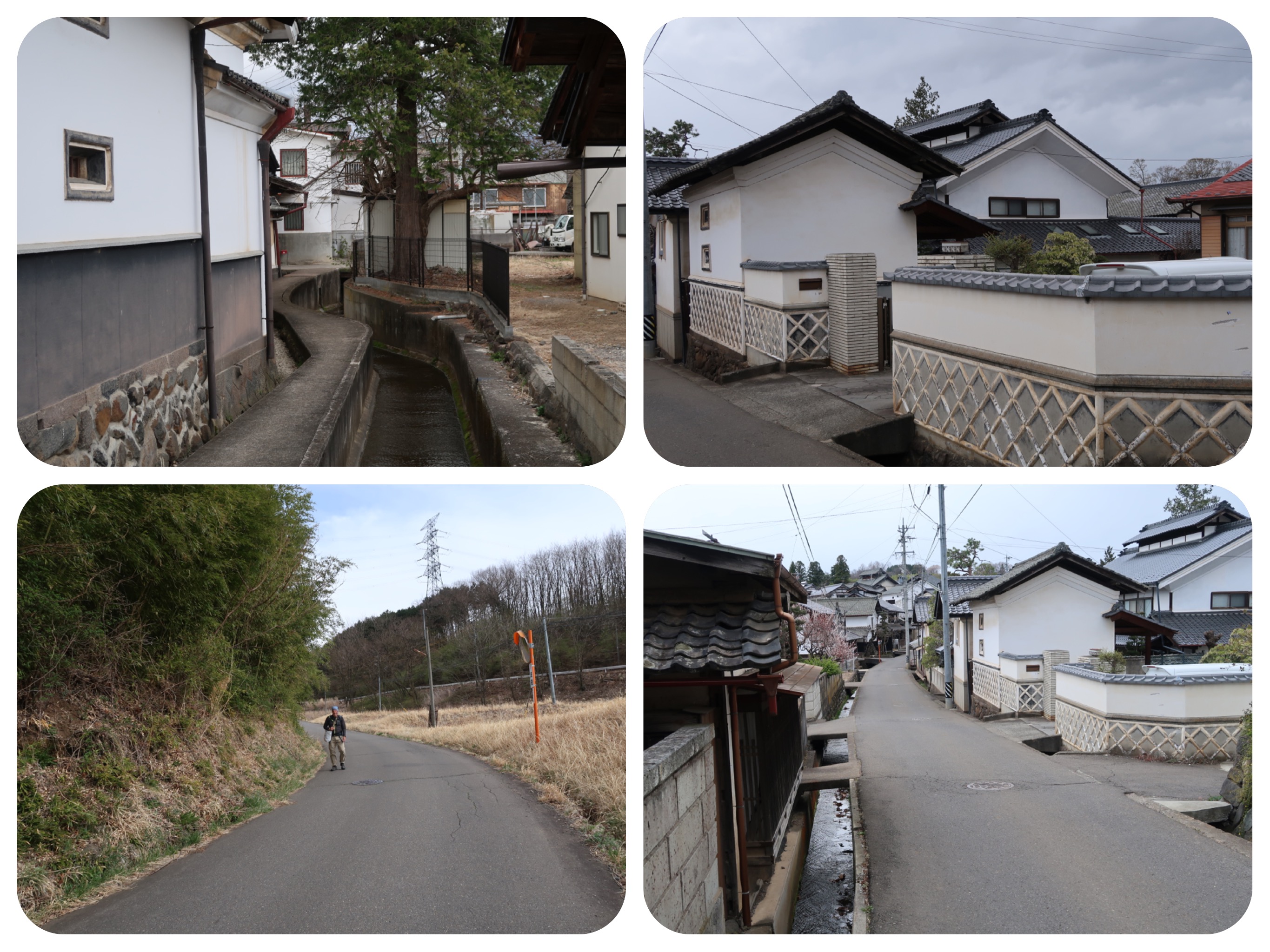
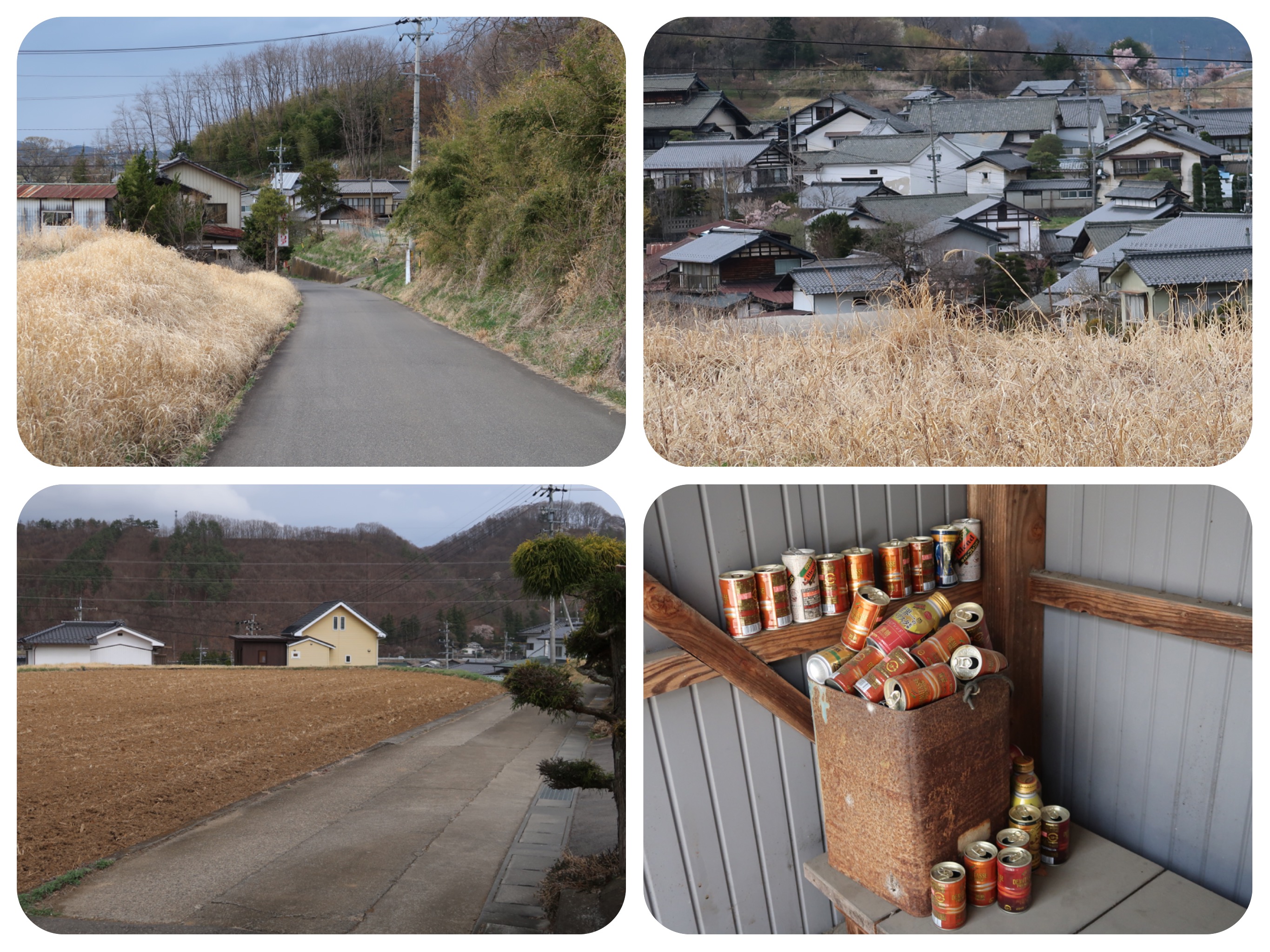
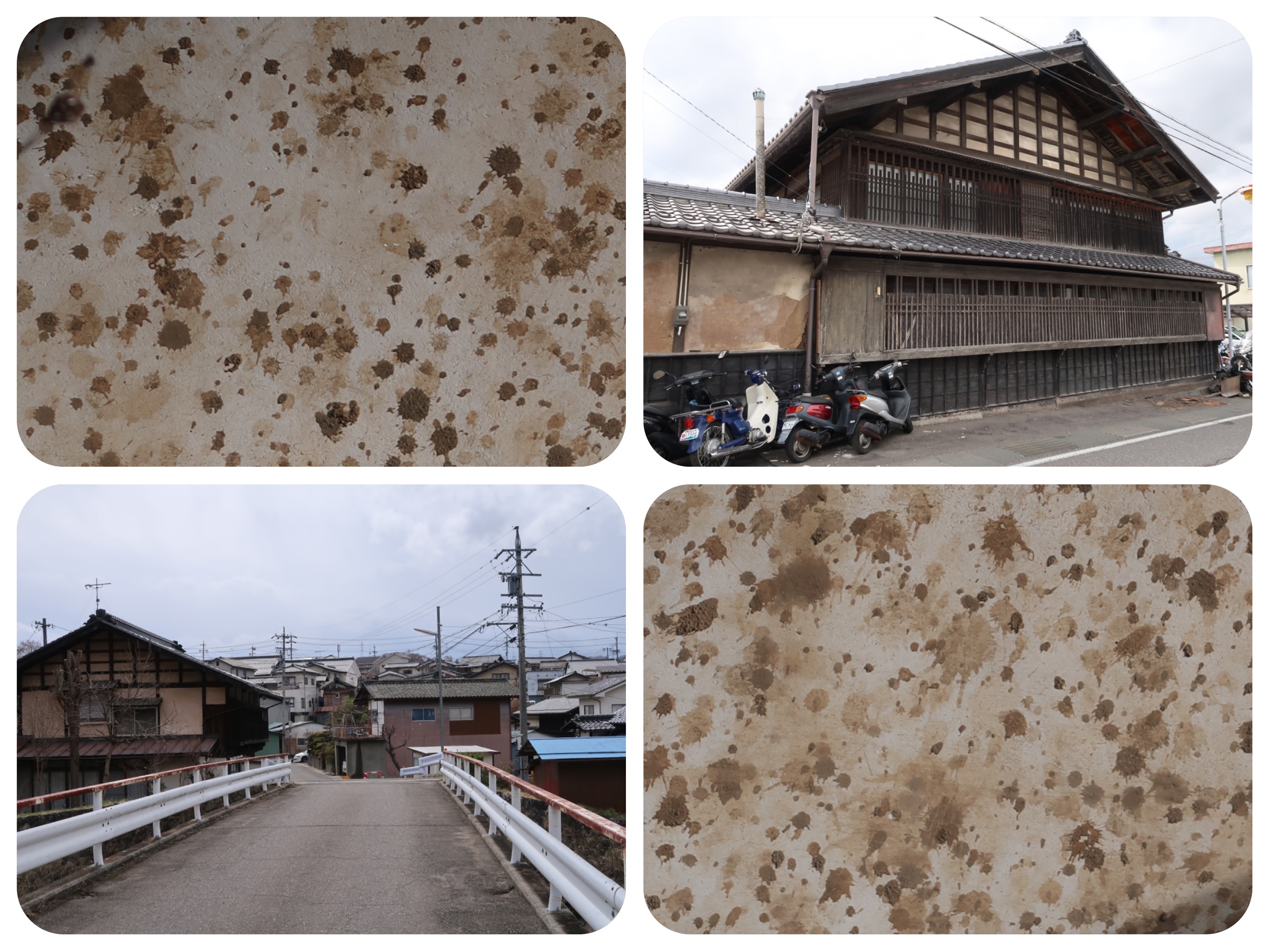
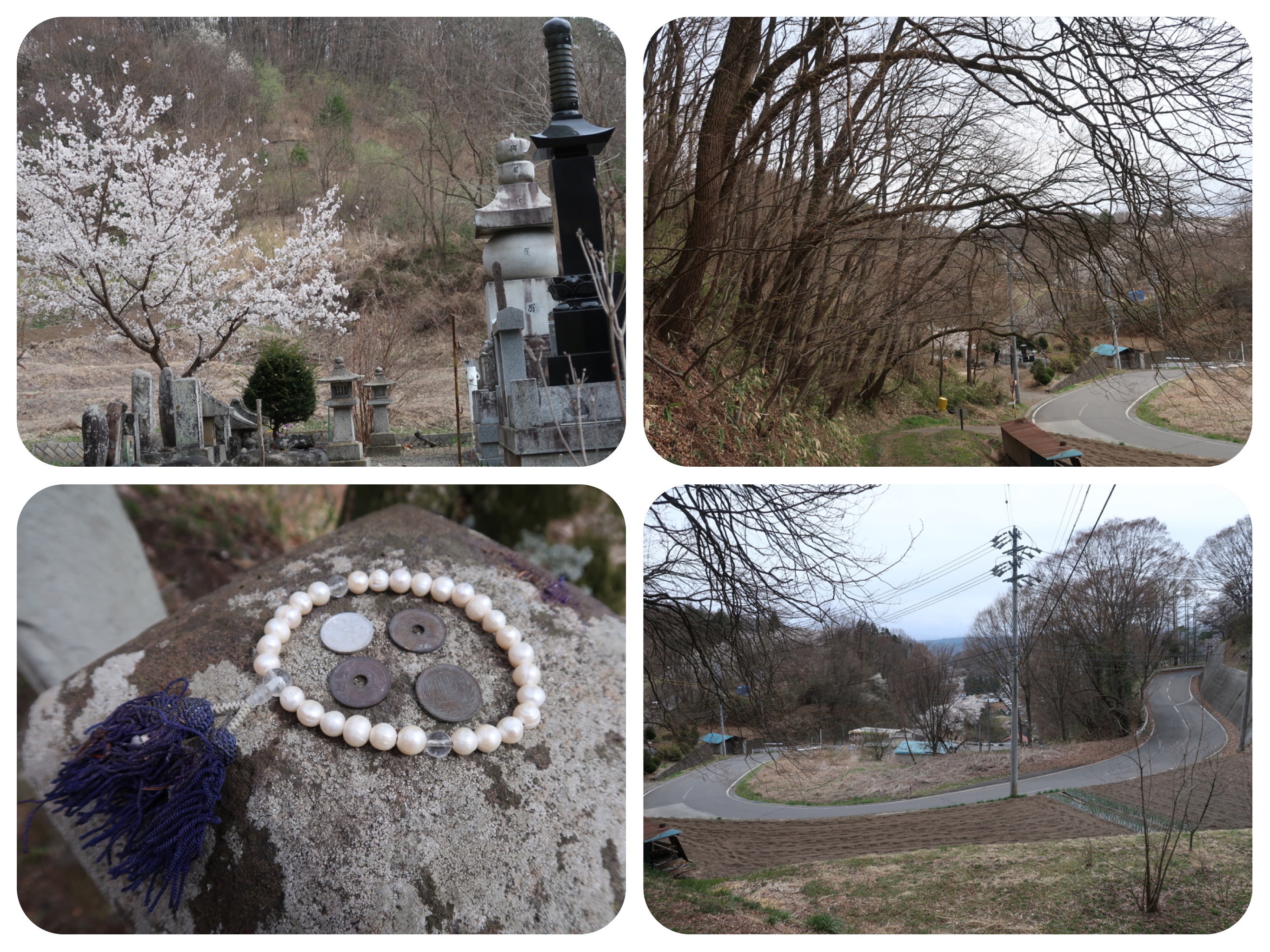
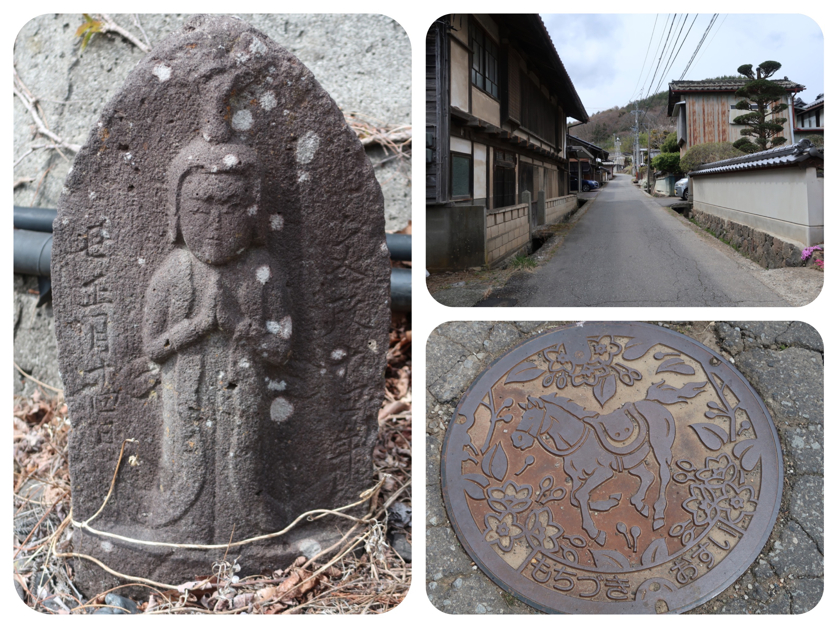
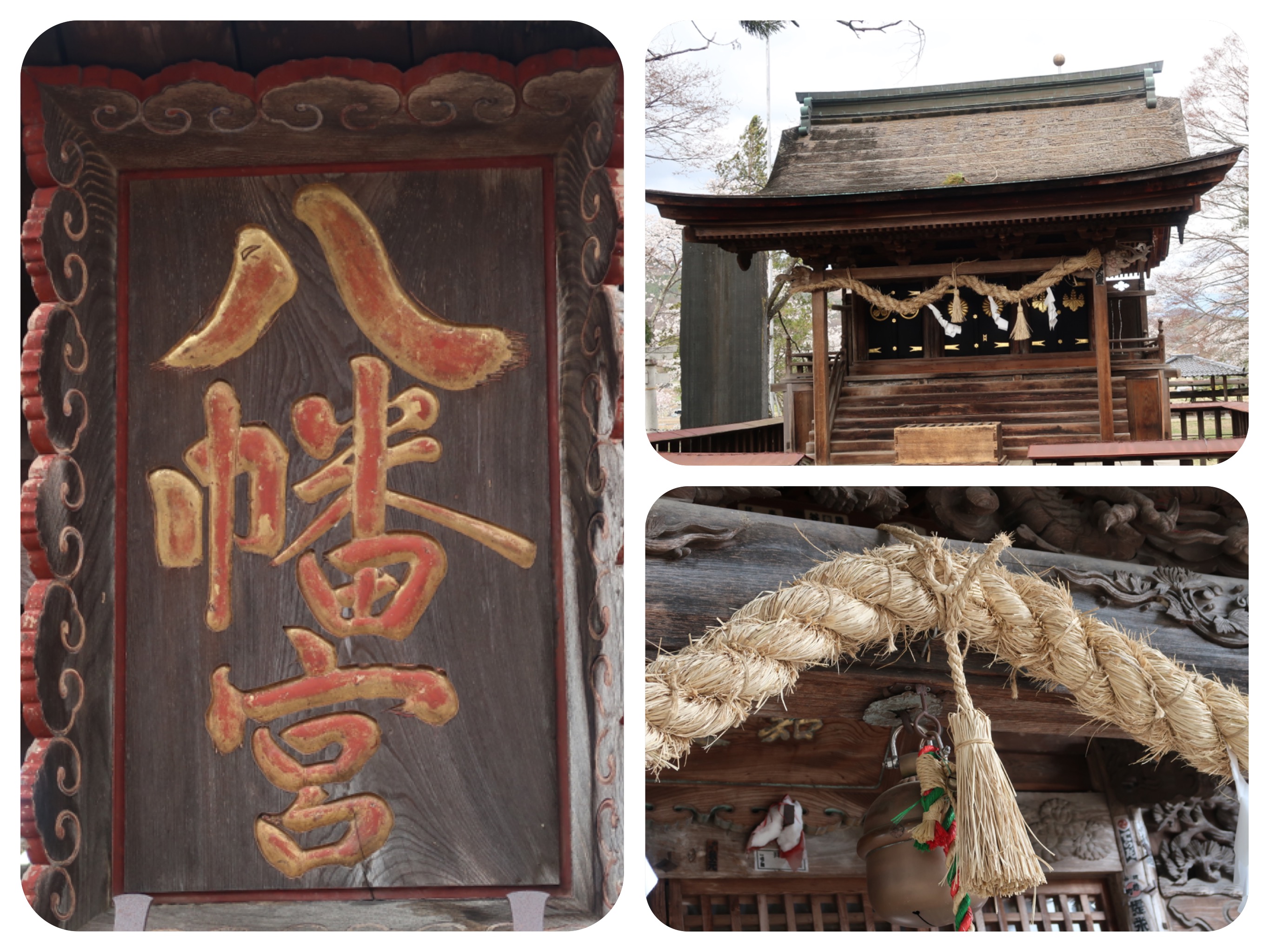
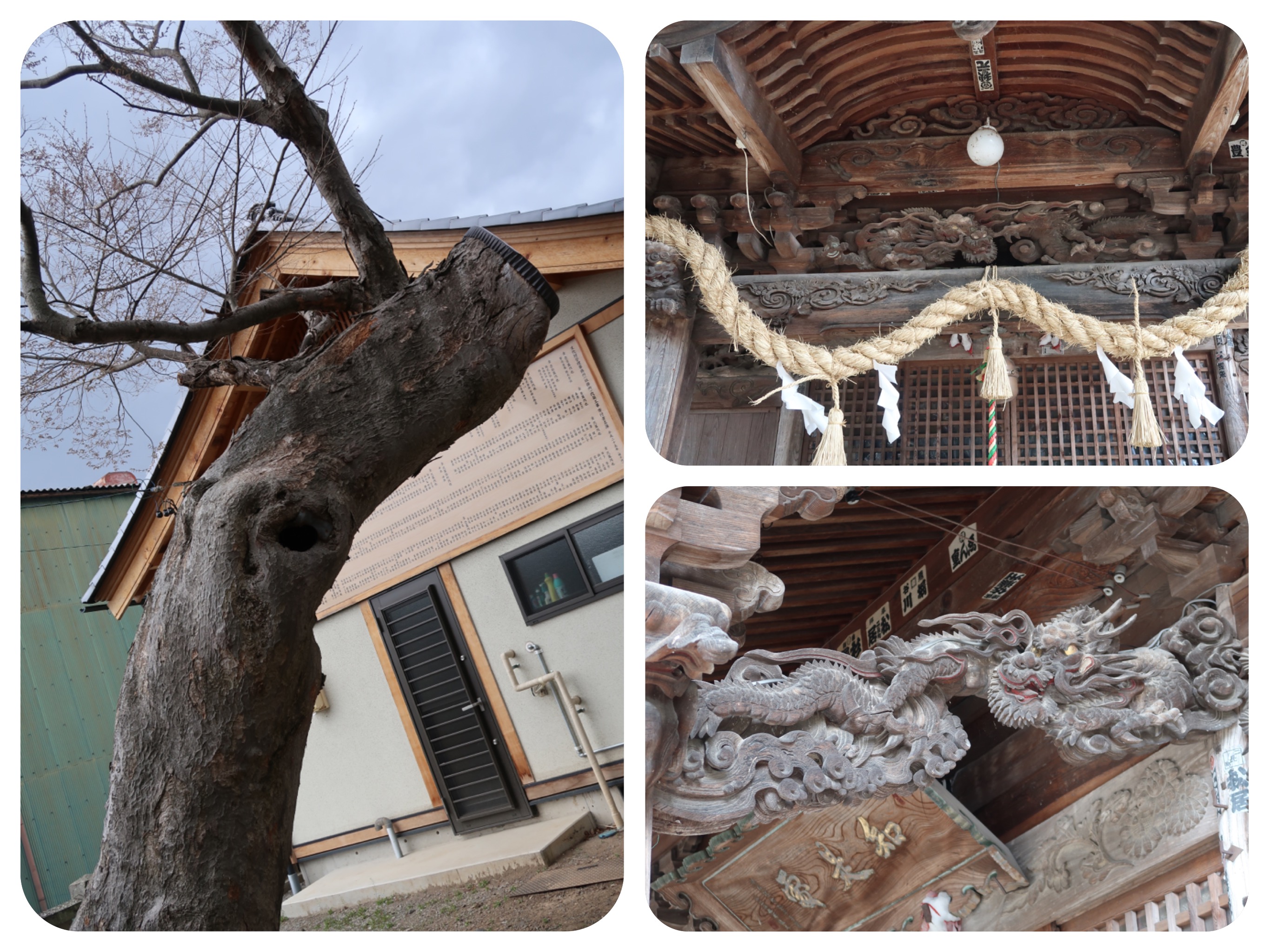
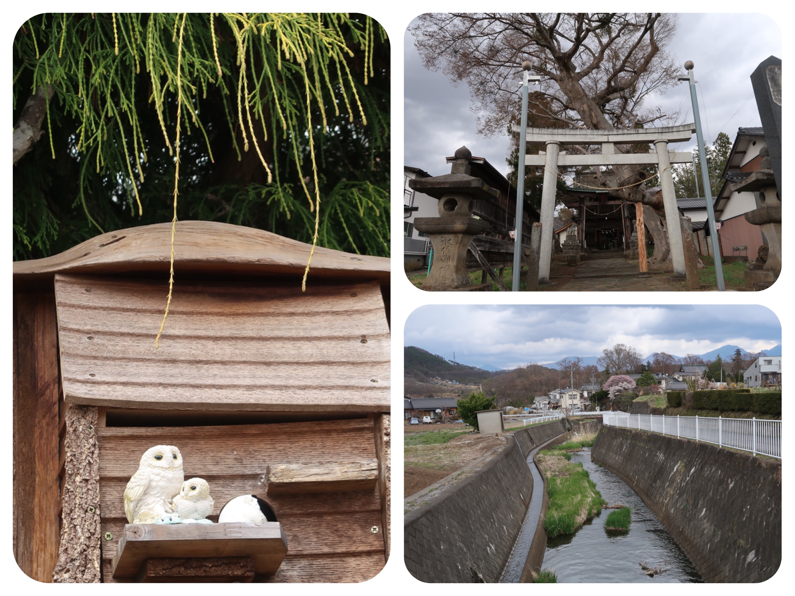
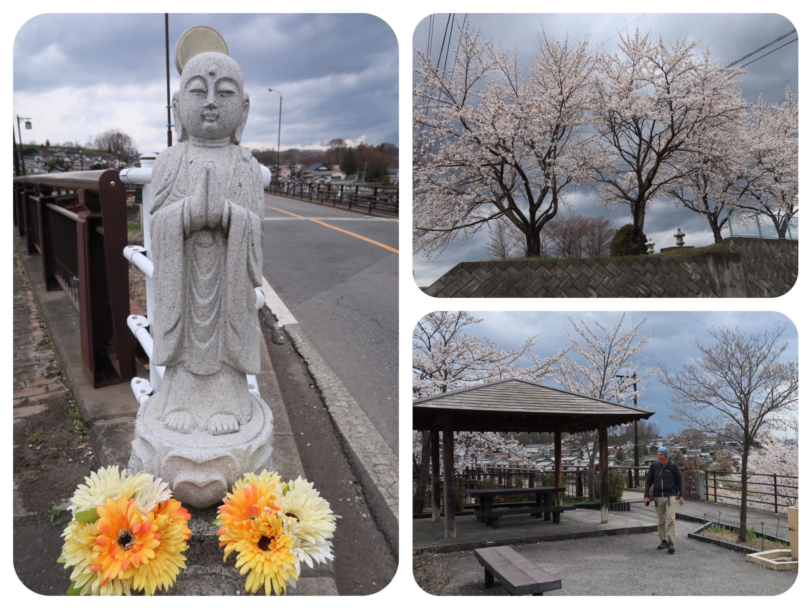
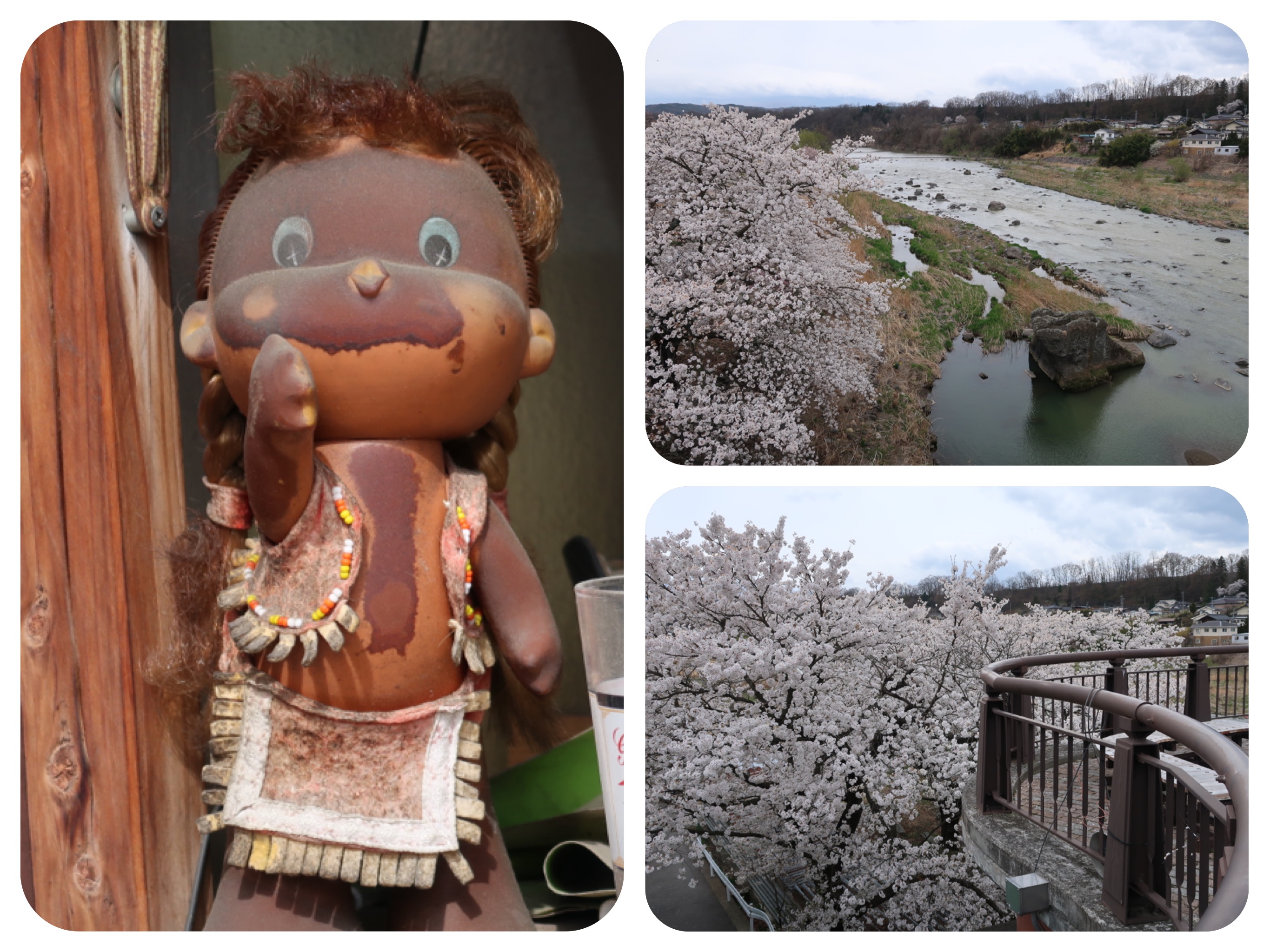
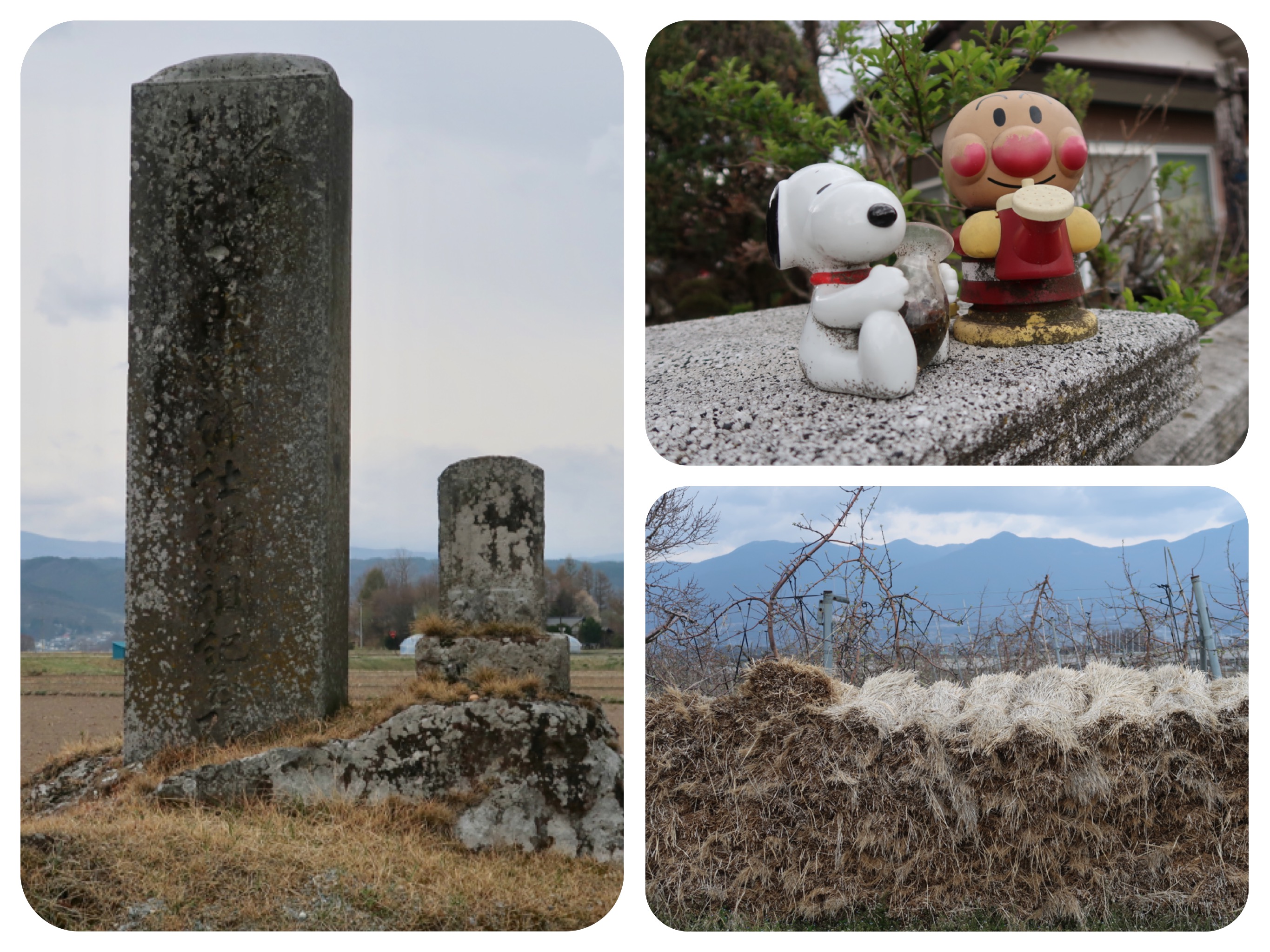
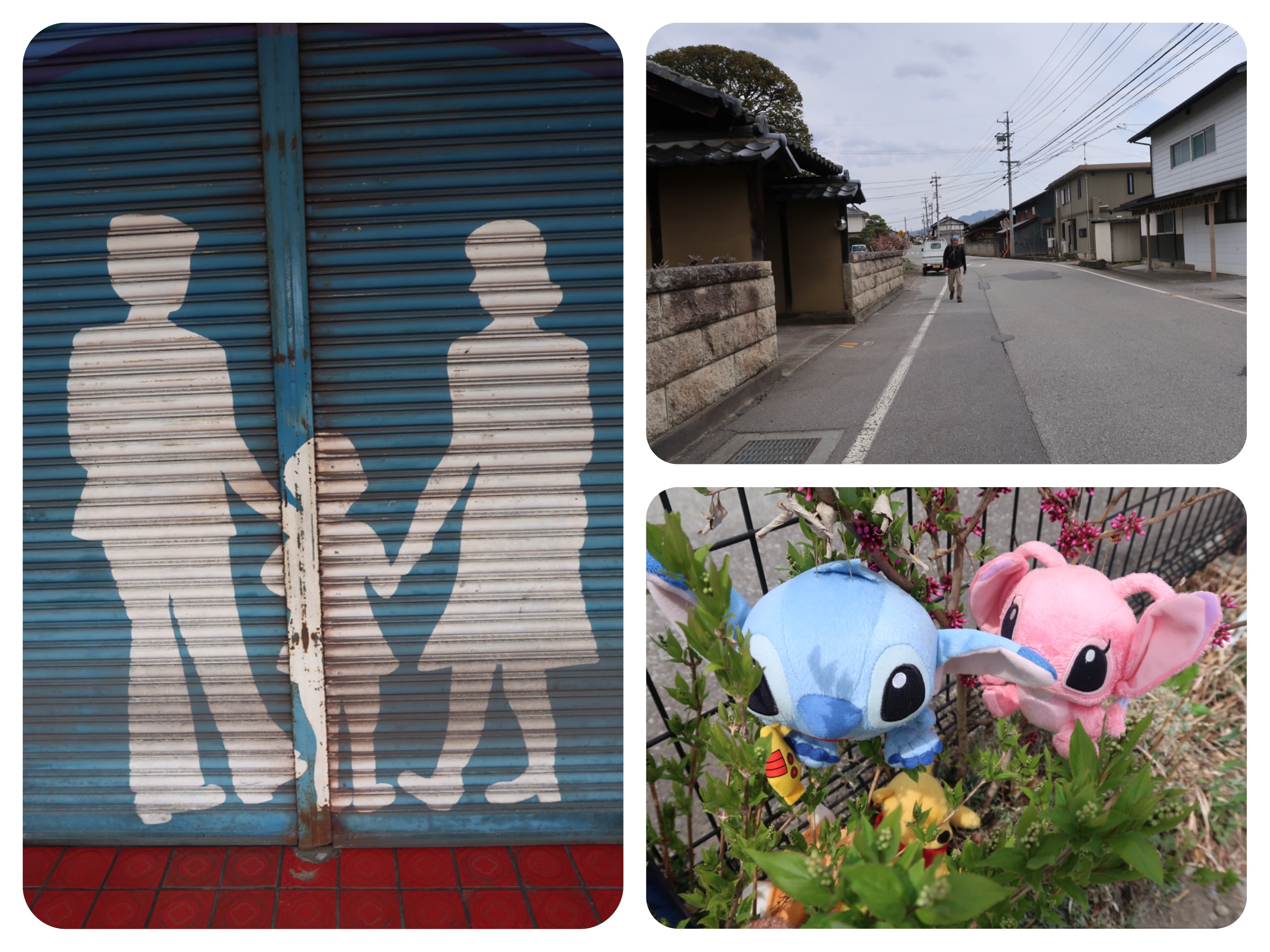
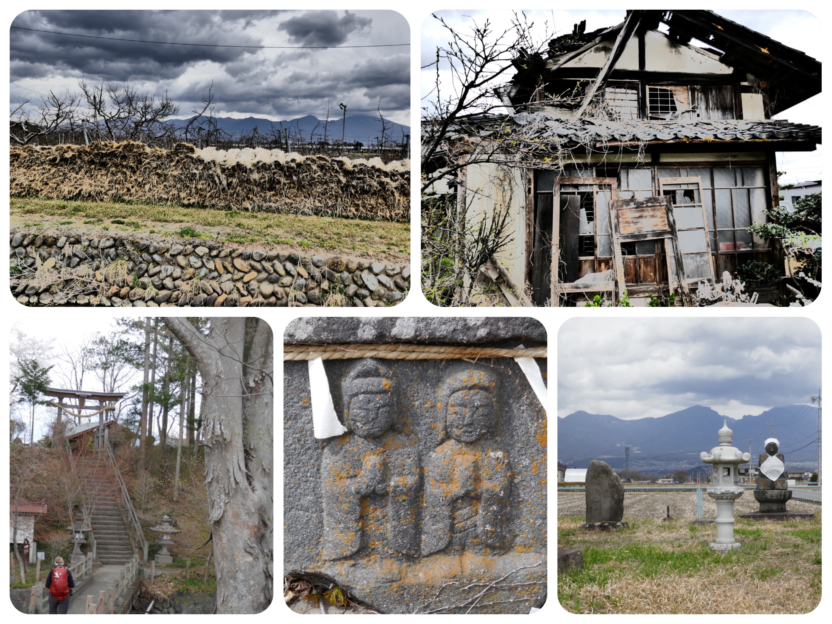
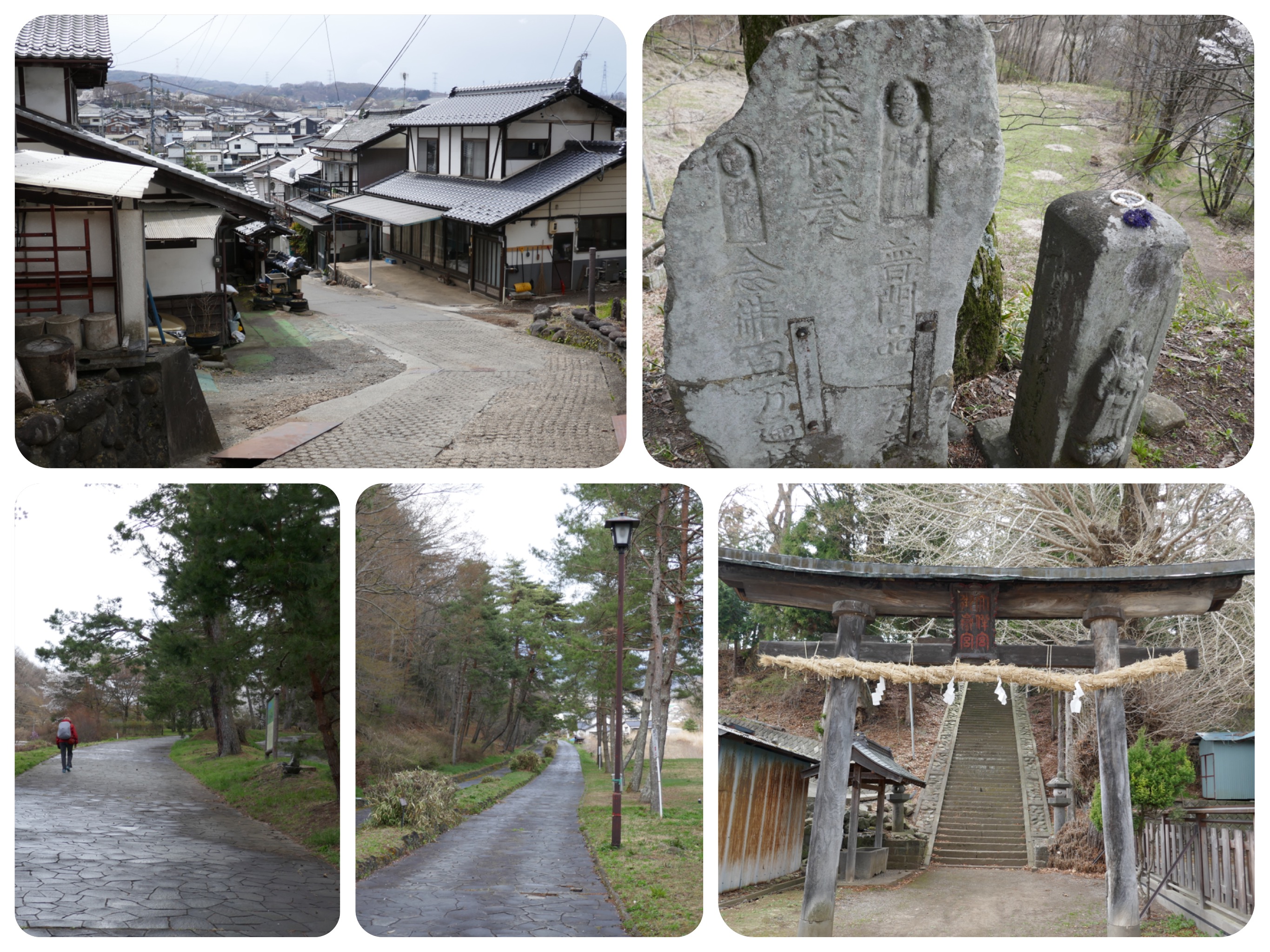
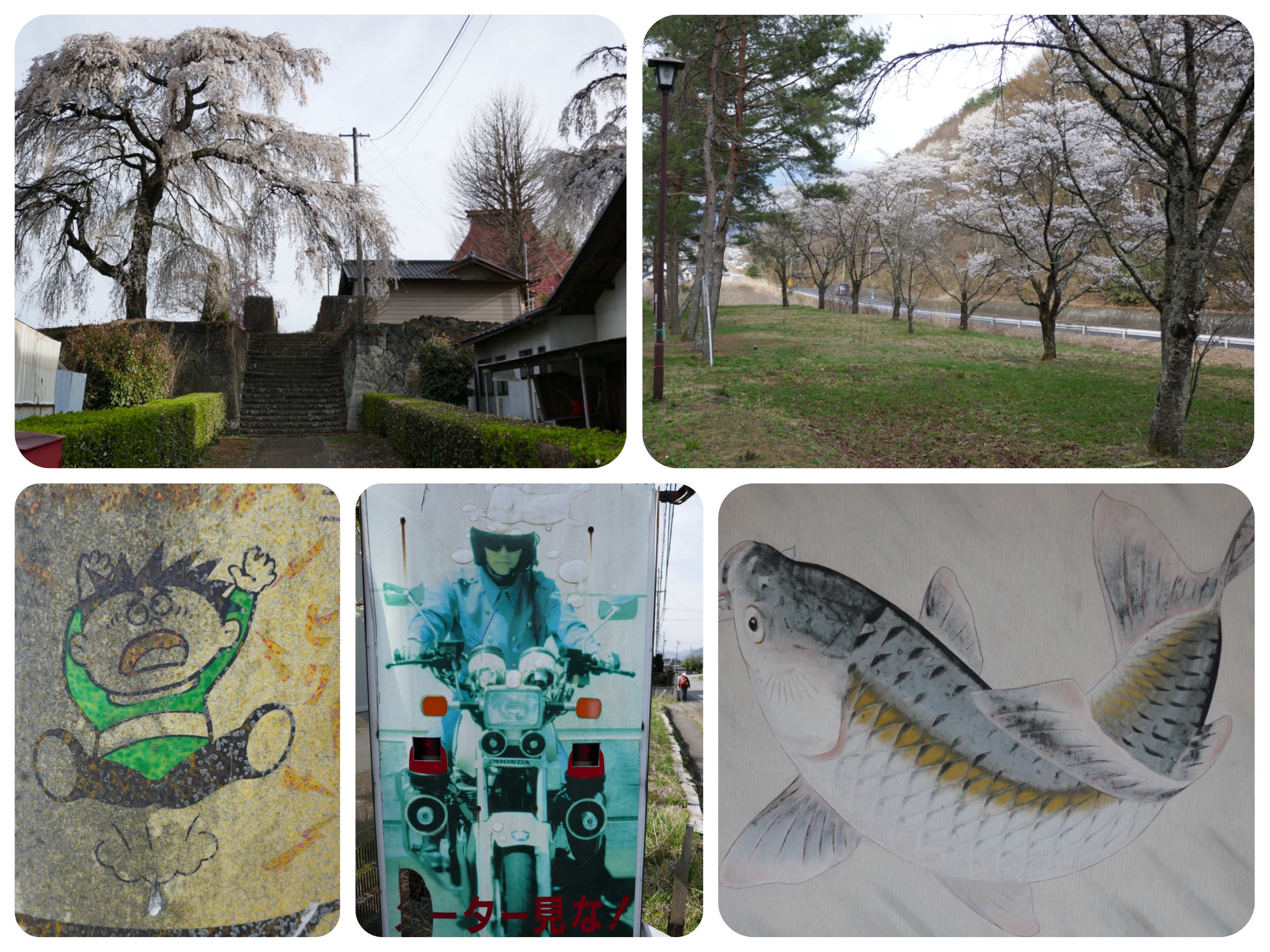
We passed through many small villages and post towns.
Although most of the shops, restaurants and cafes were closed, the way they looked implied that during the summer season, they entertained many visitors.
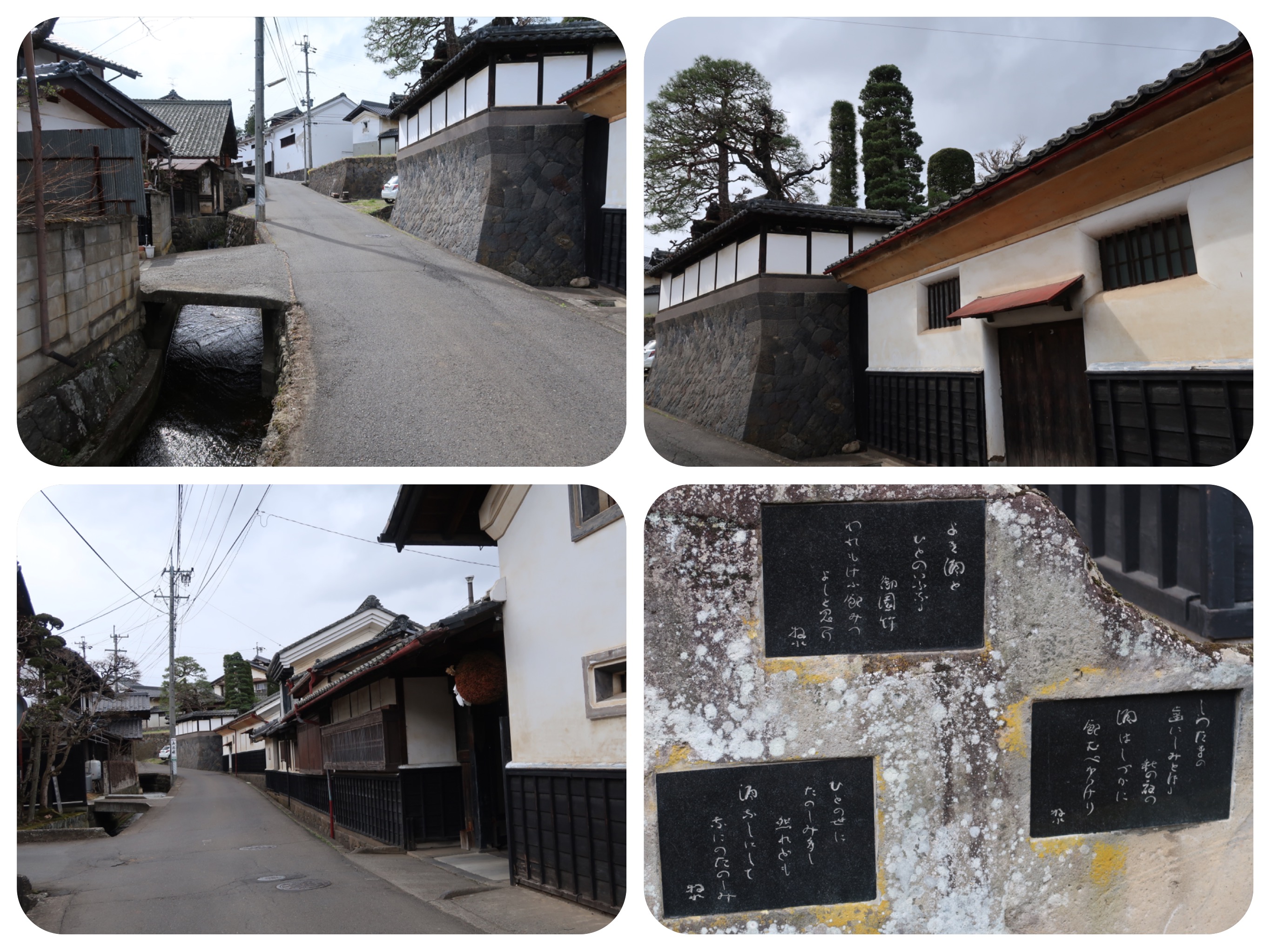
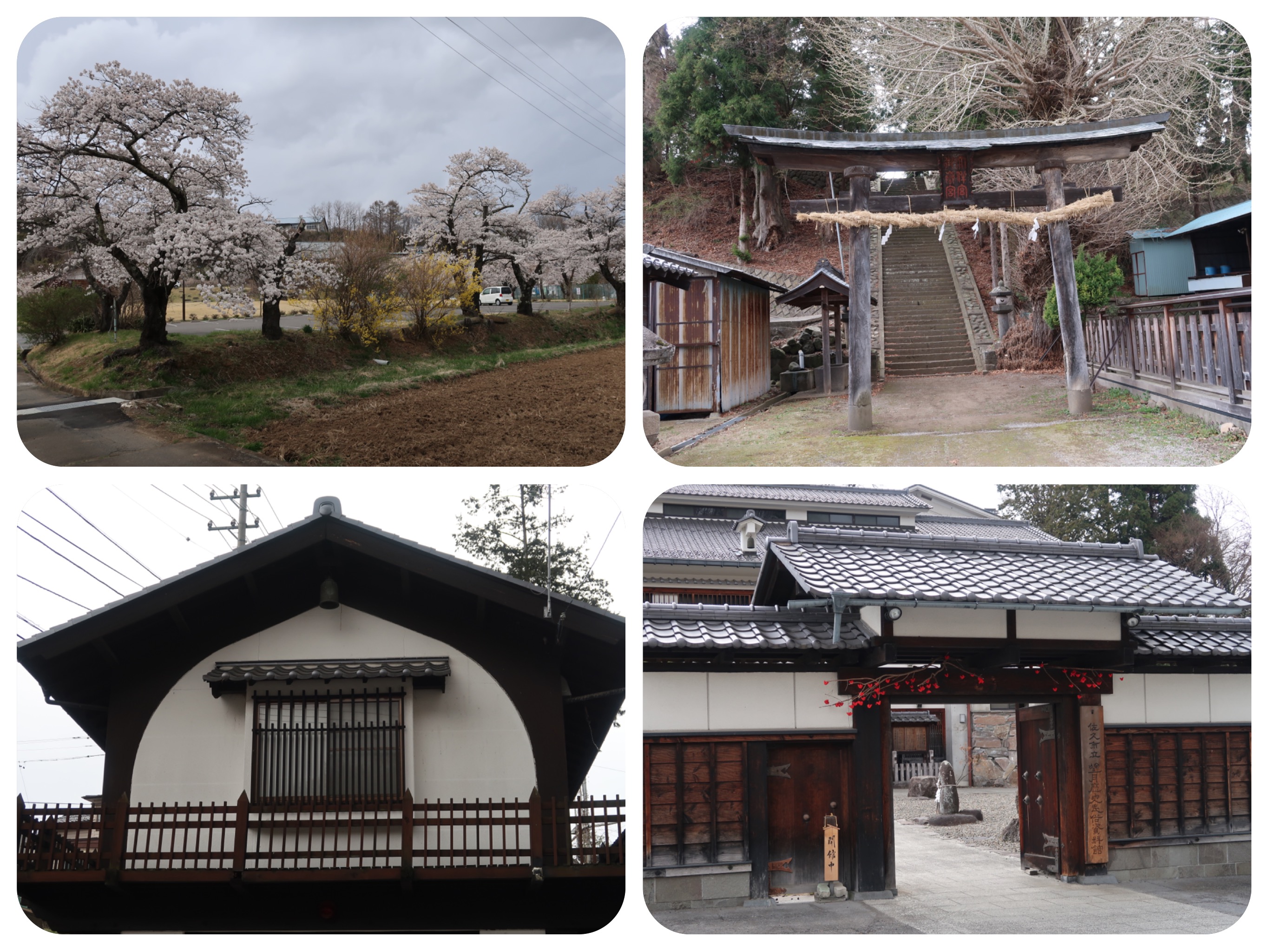
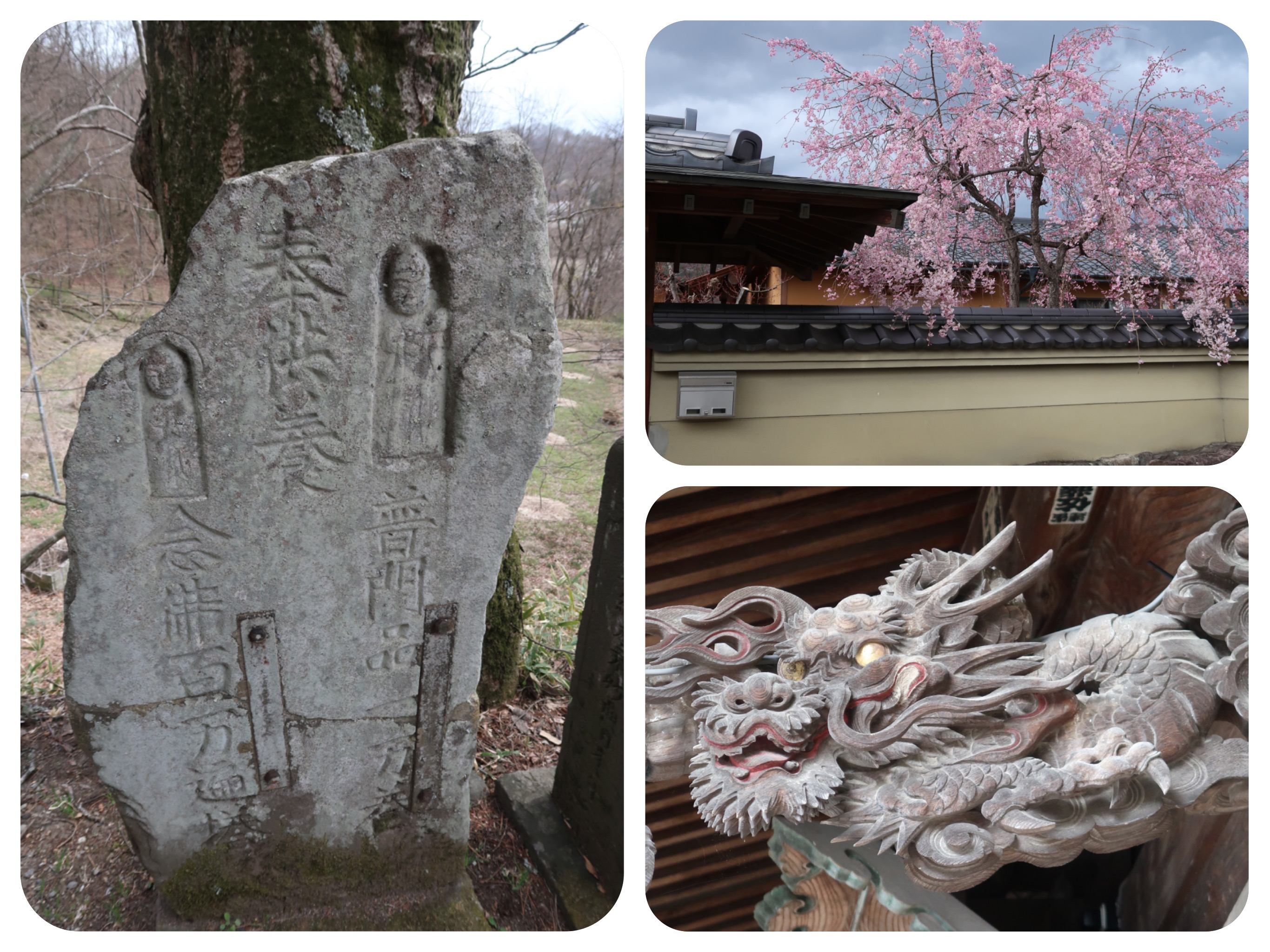
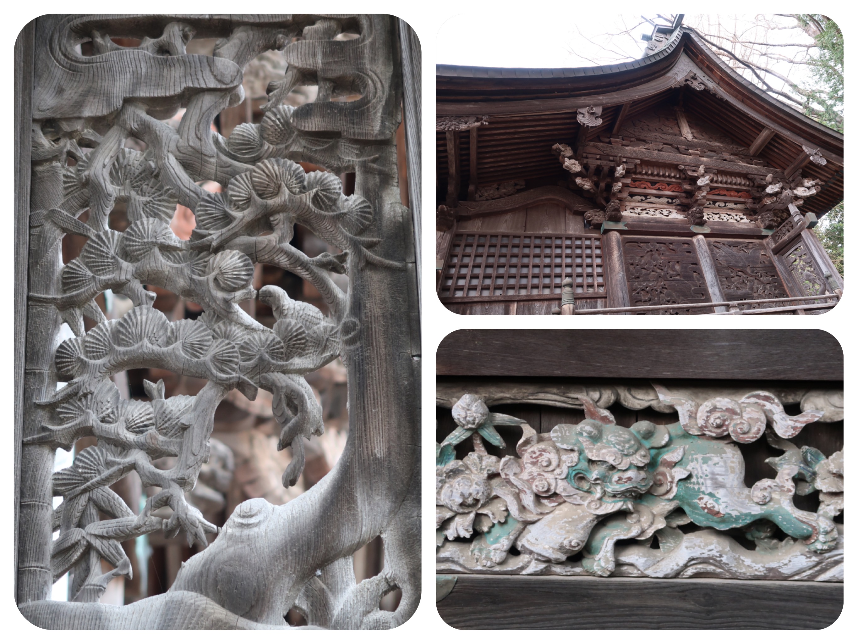
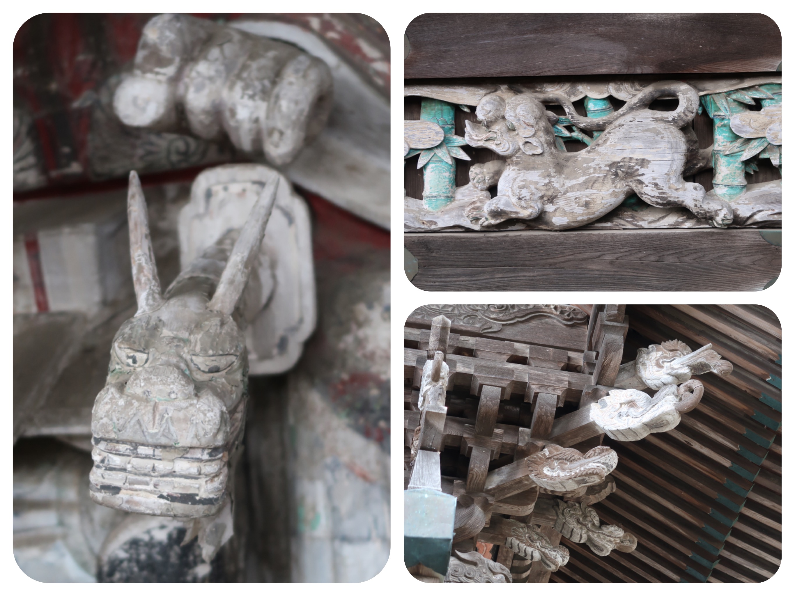
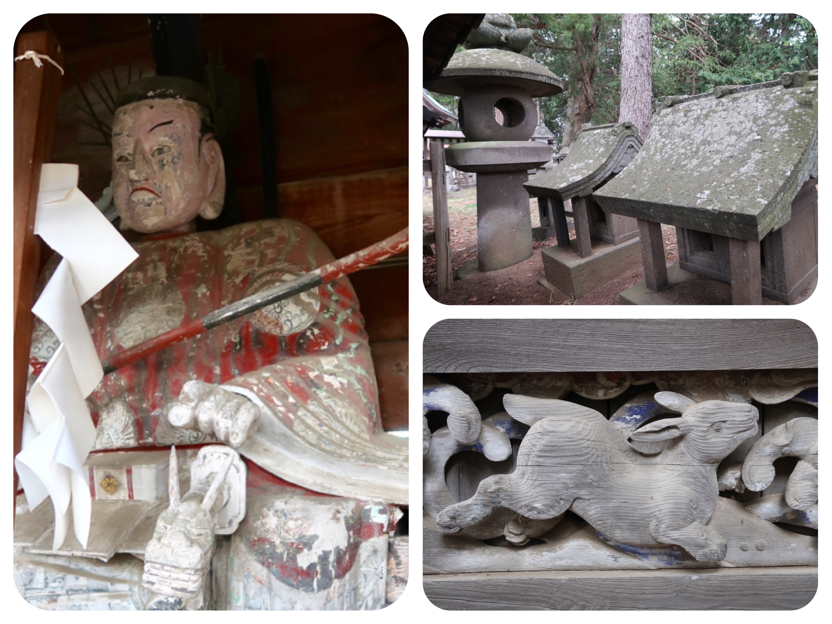
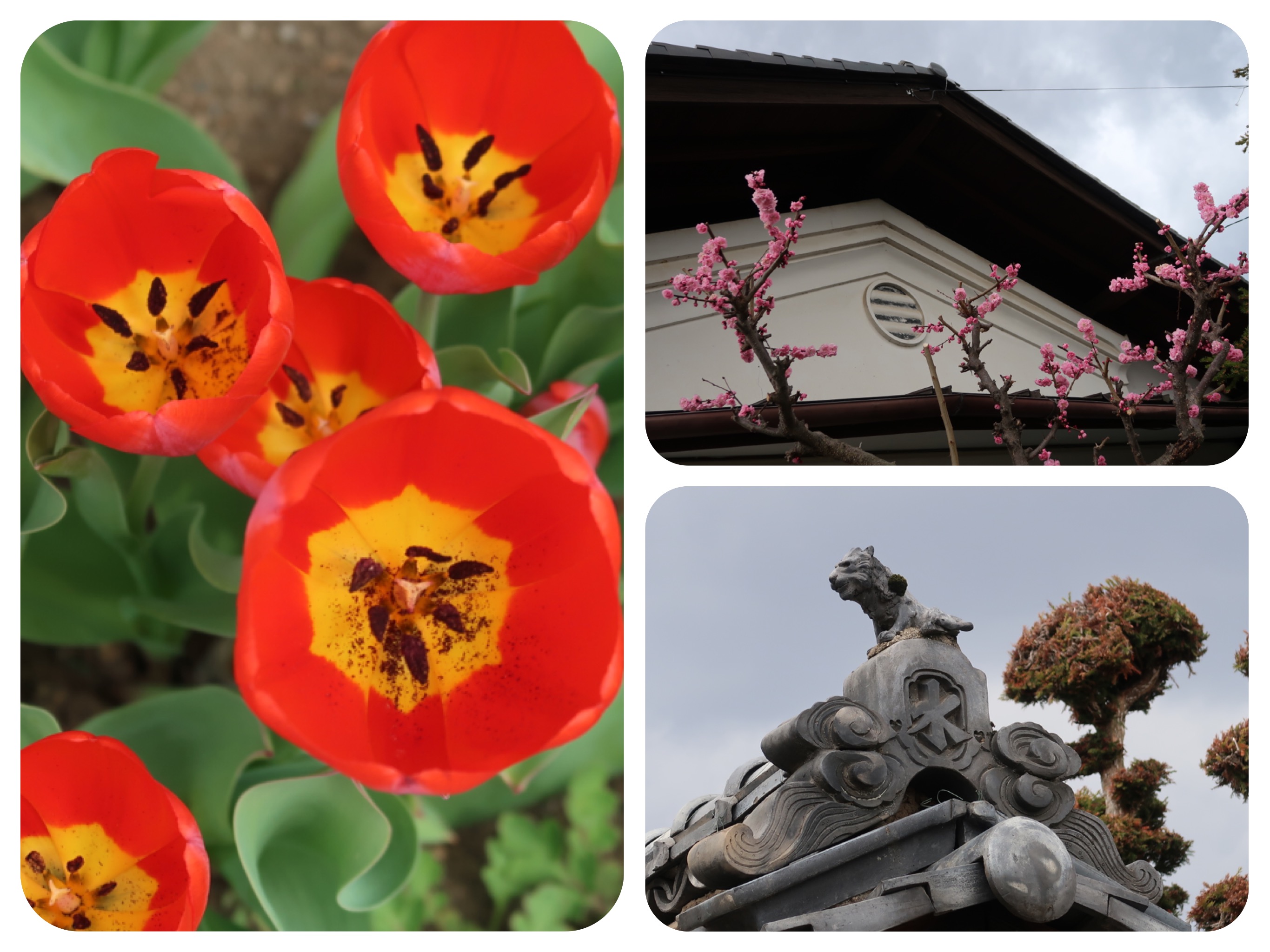
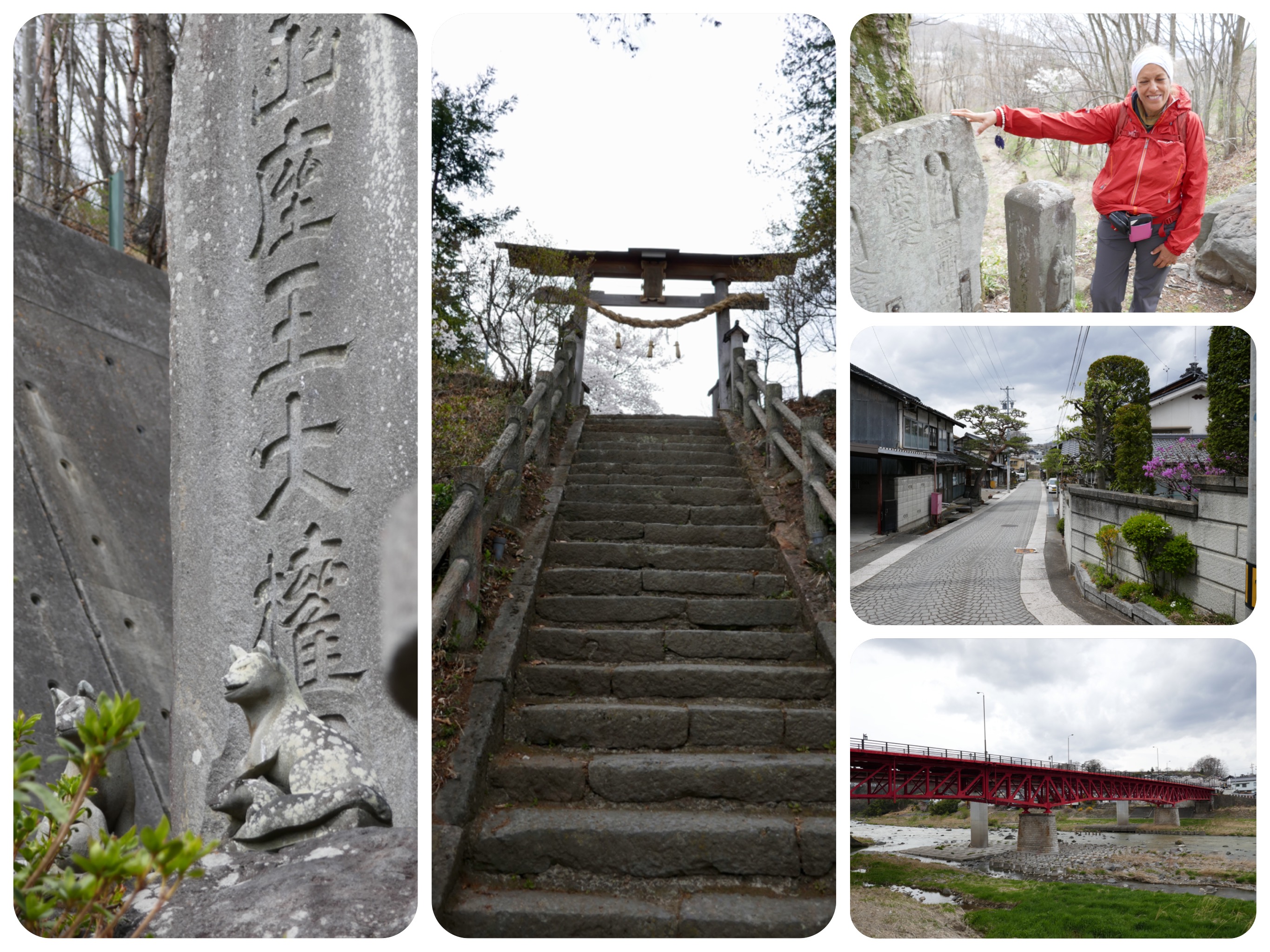
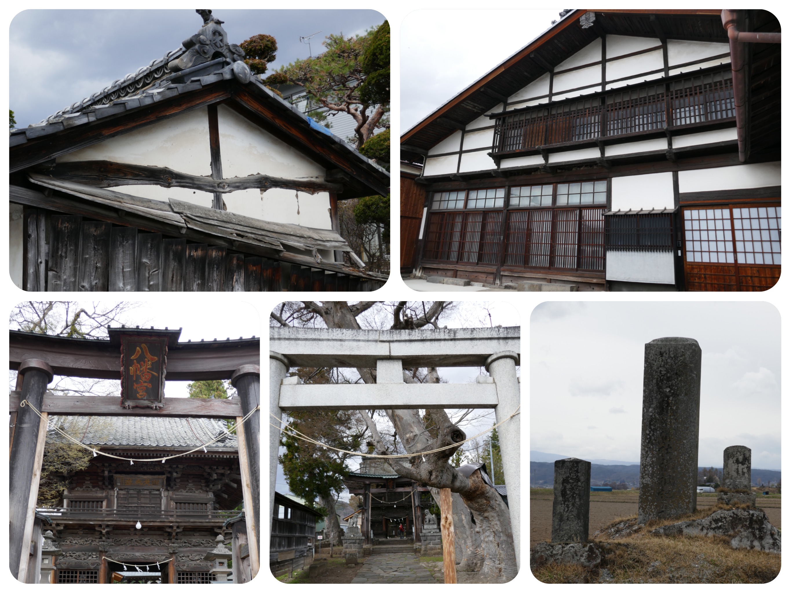
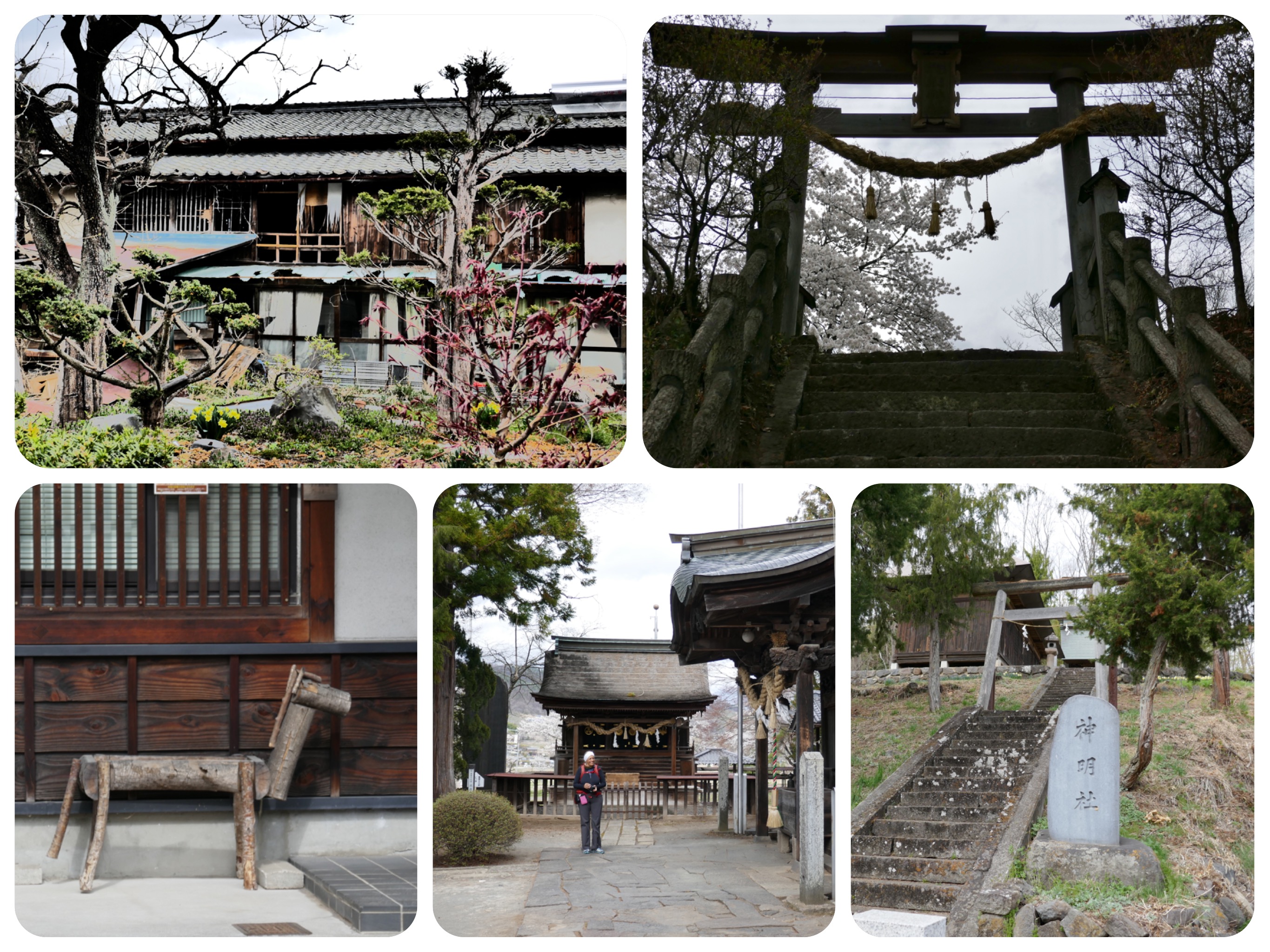
There were old sake breweries, workshops producing miso and lots of beautiful Edo-period buildings.
Some of the villages had really well restored historic buildings with white earthen walls and dark, almost black wood which looked very beautiful.
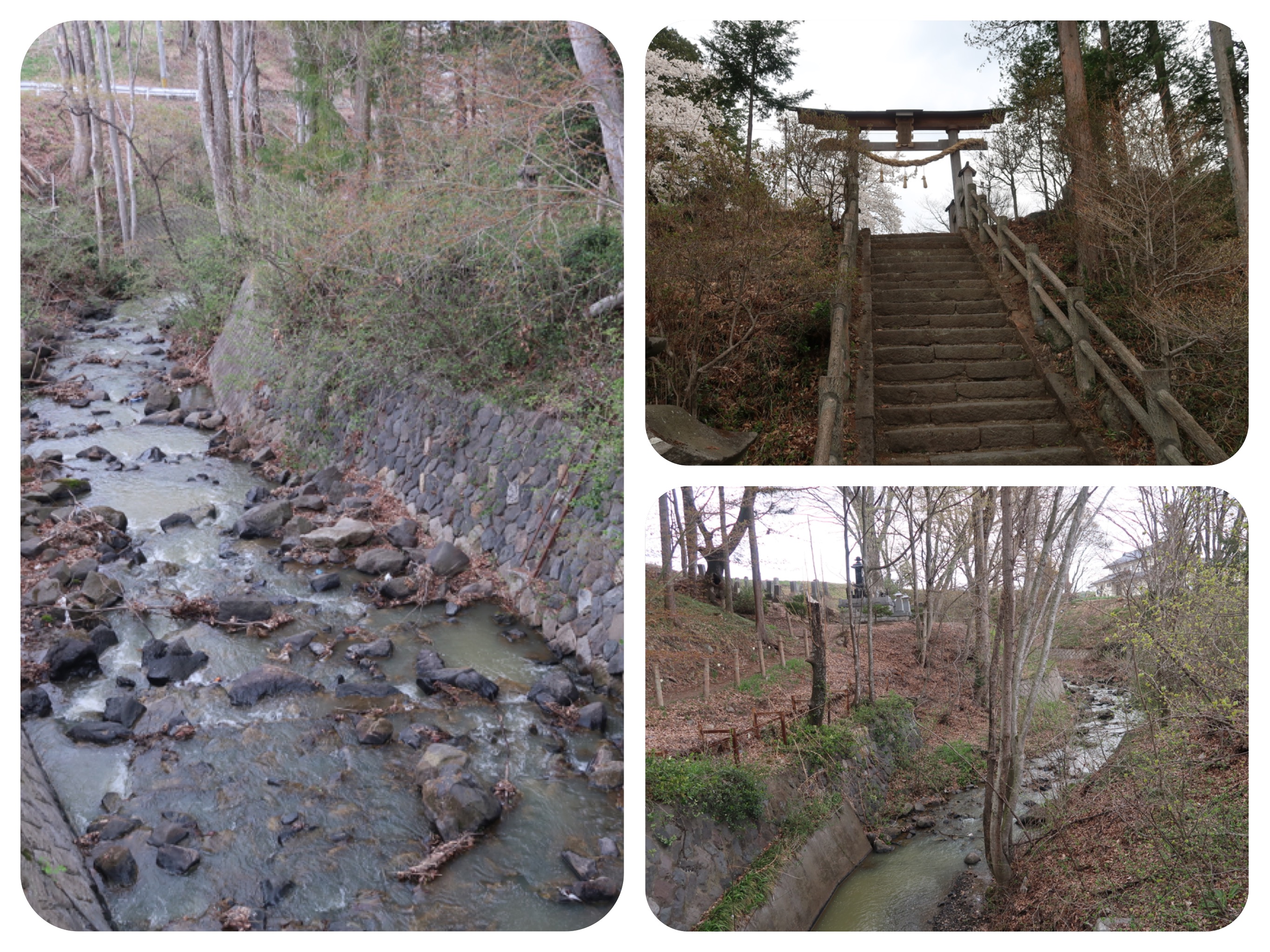
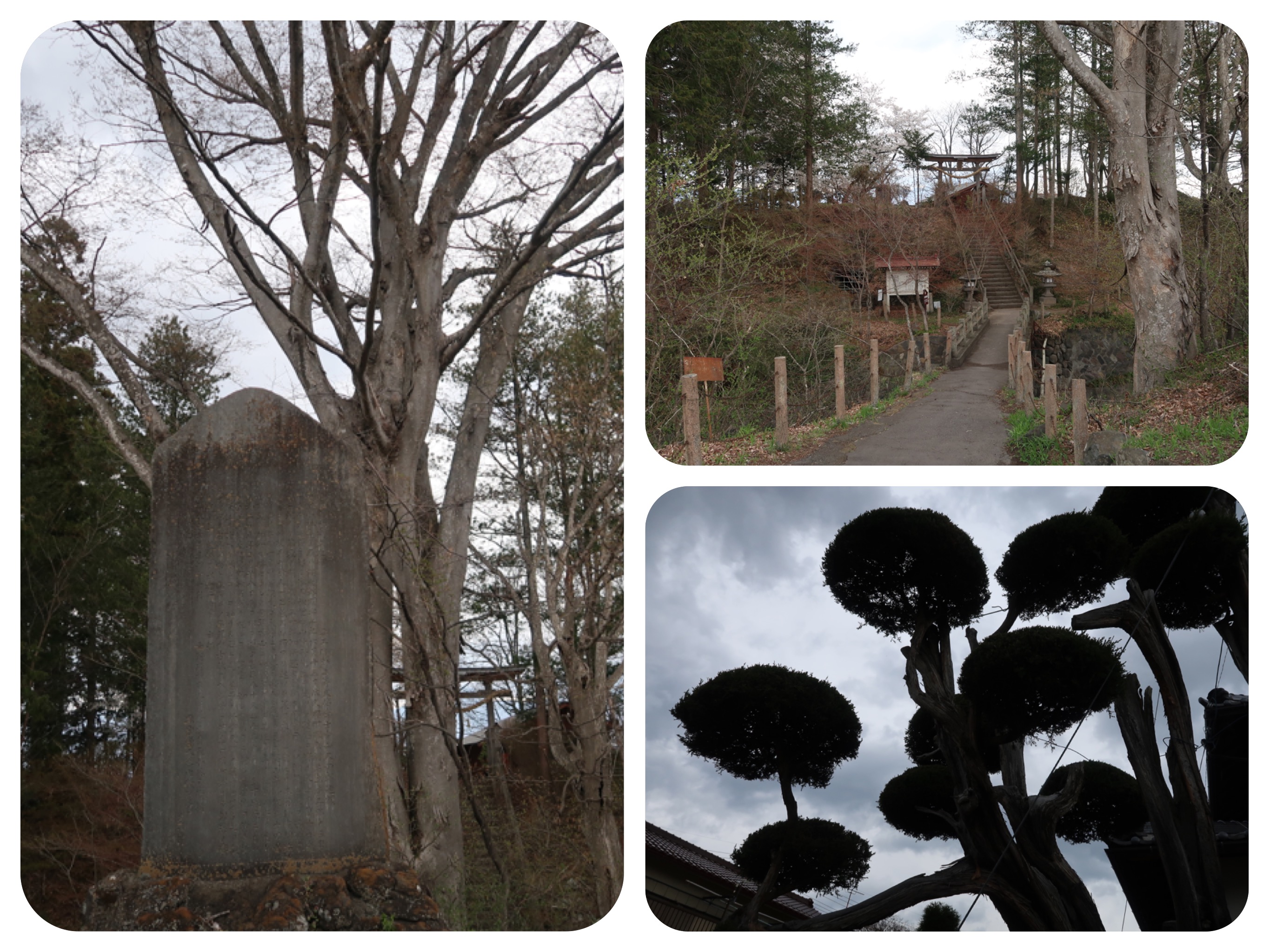
There was a clear, freshwater creek running by the side of these houses and shrines dating back to the late Edo period.
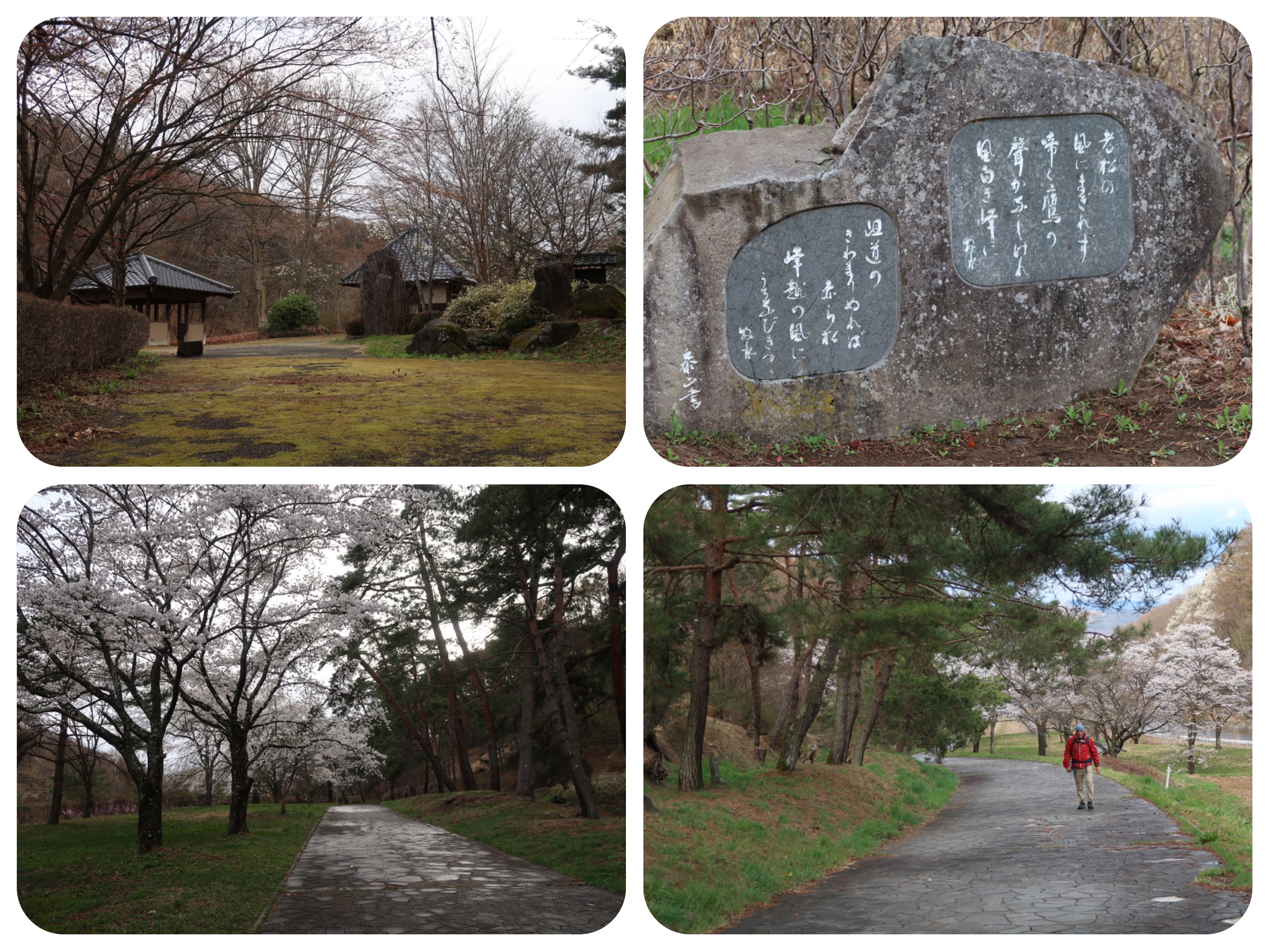
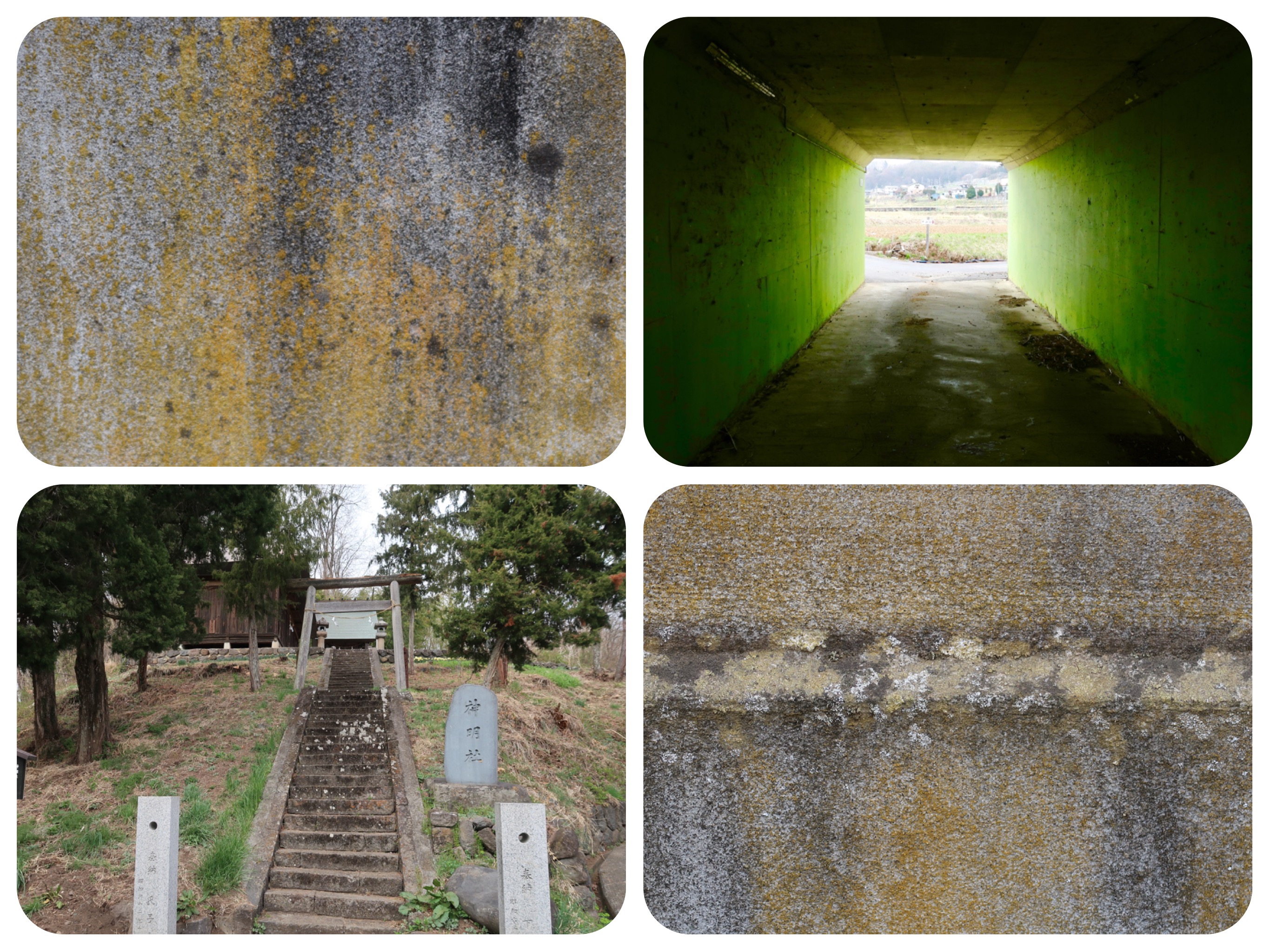
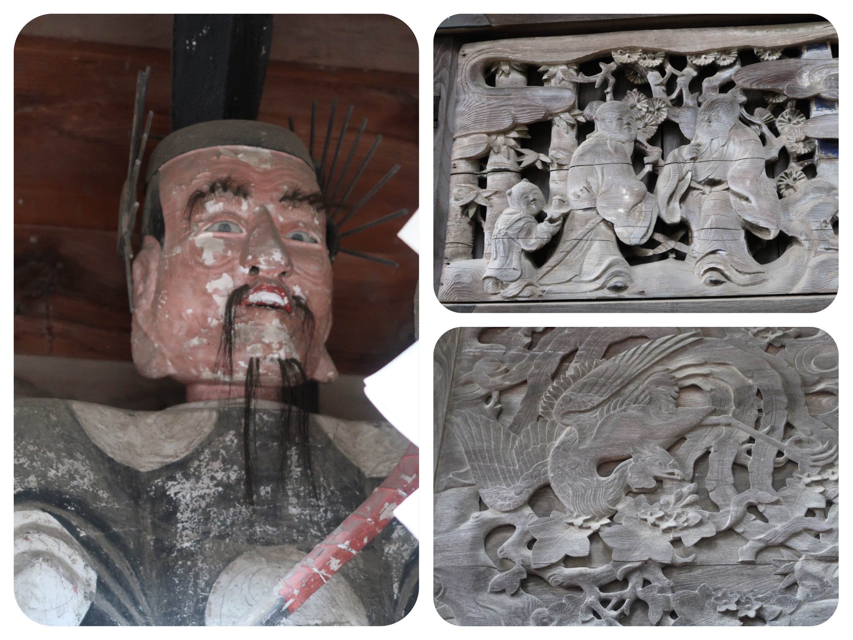
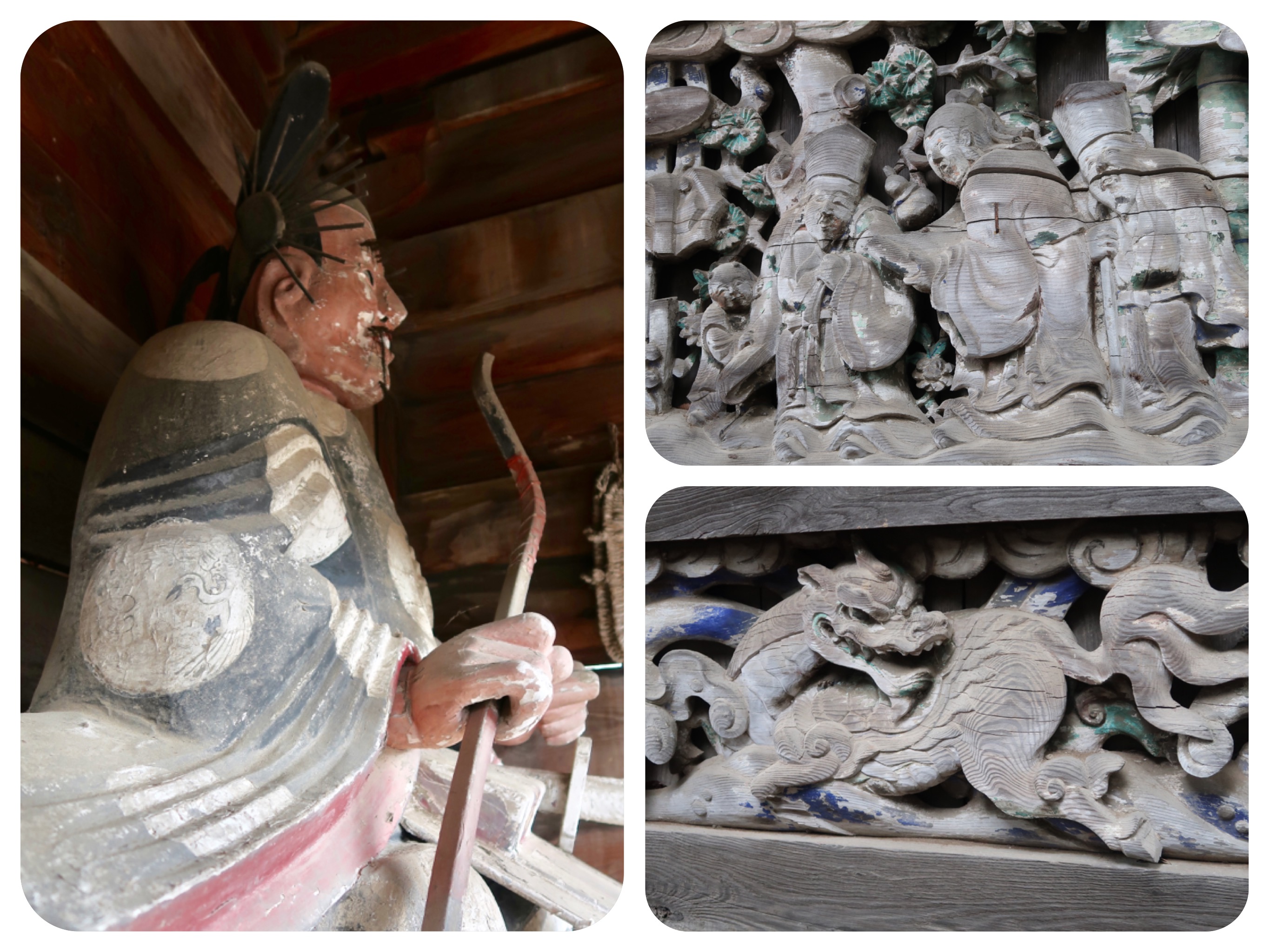
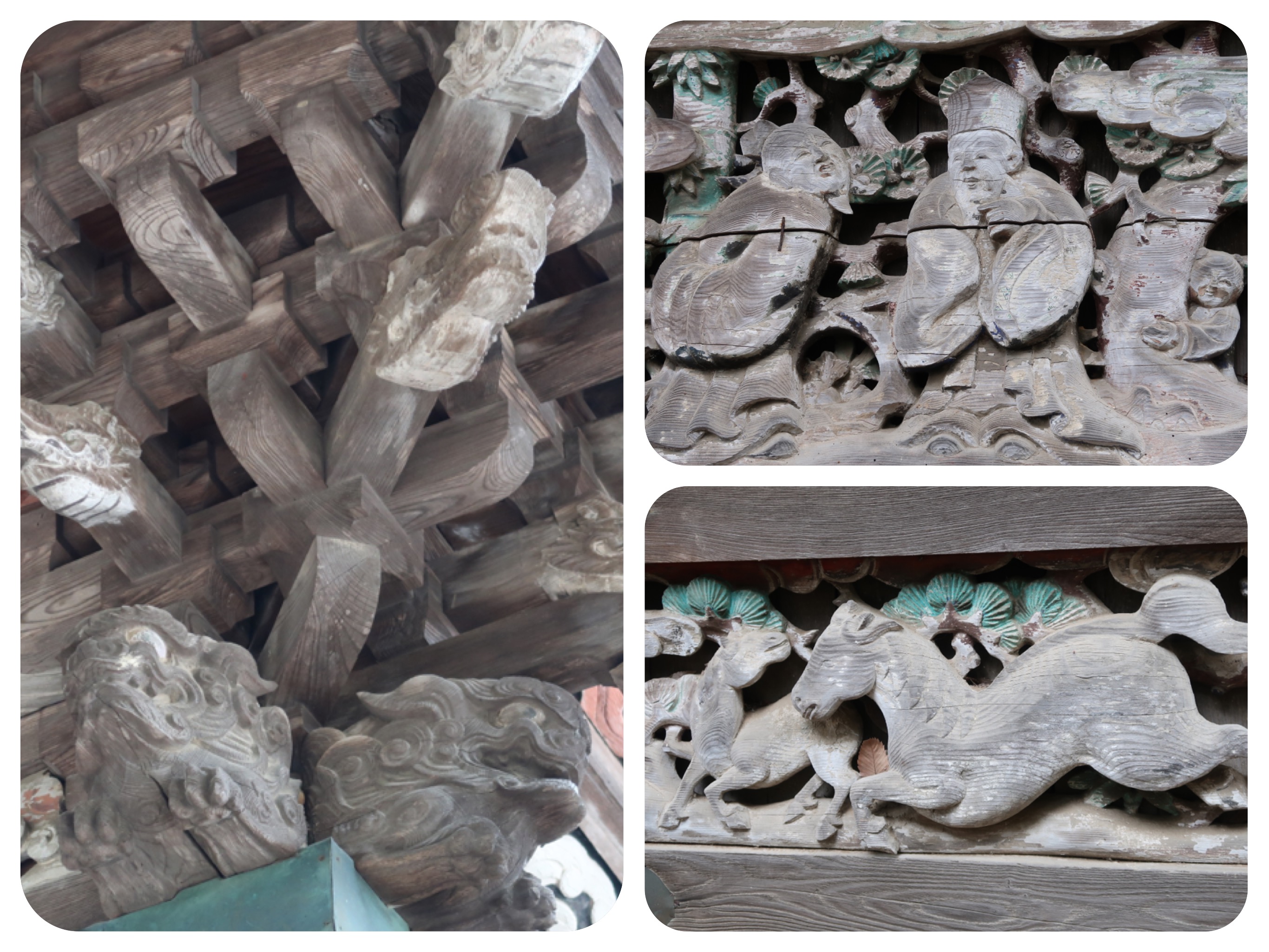
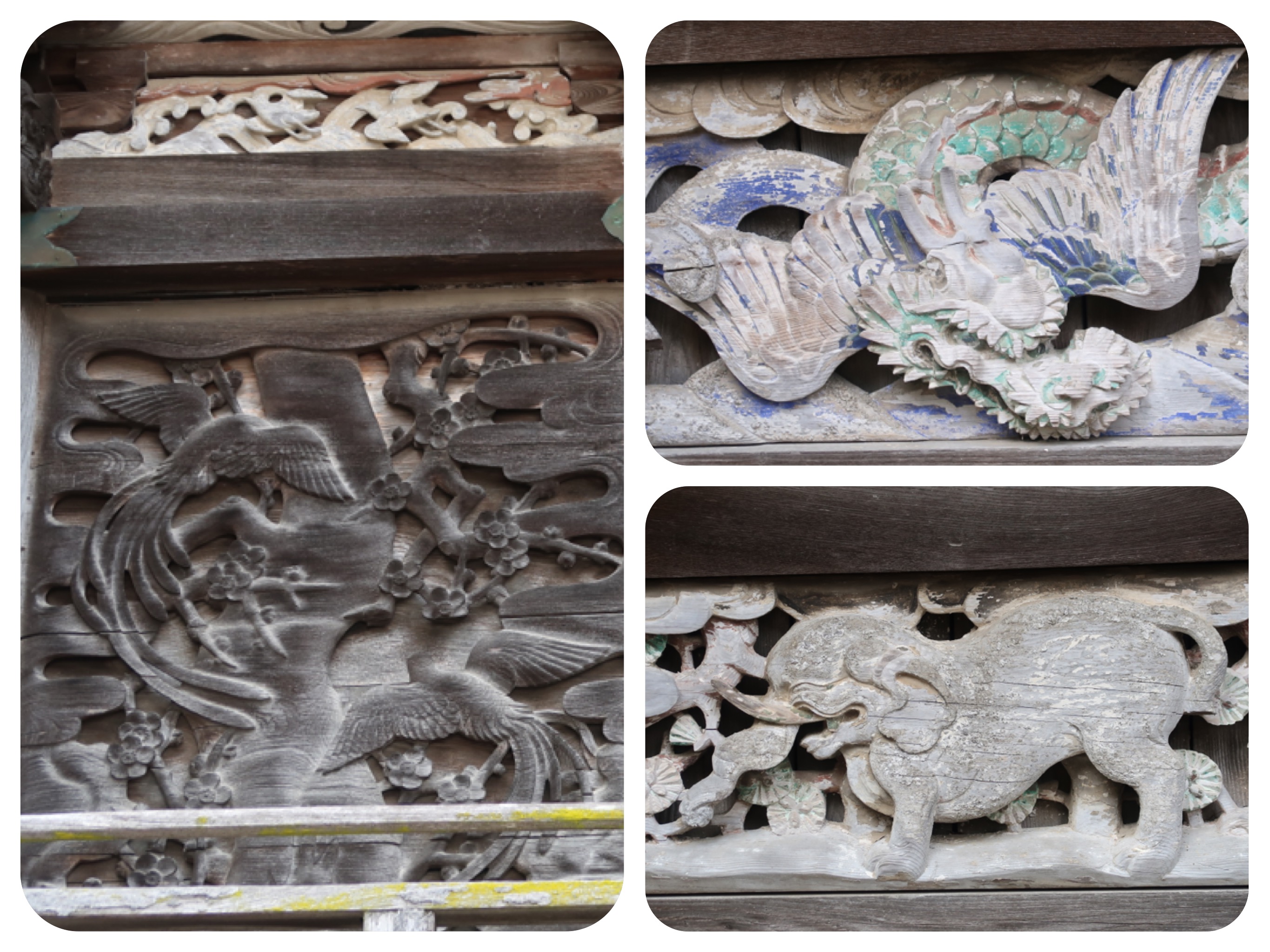
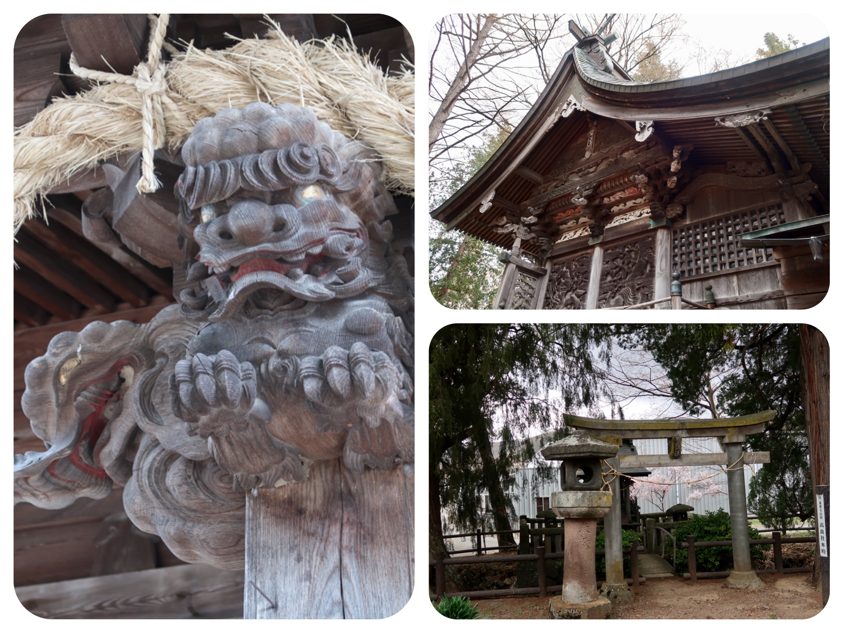
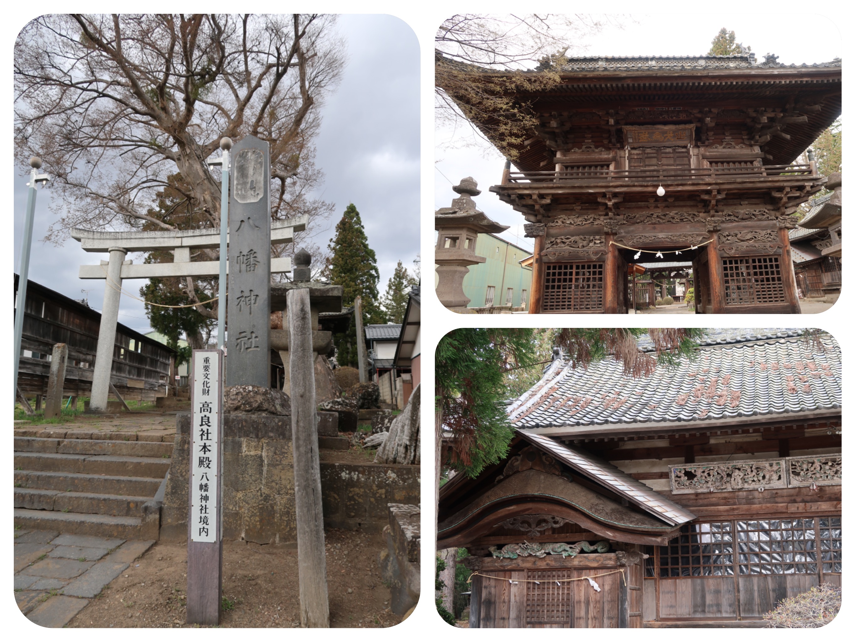
At one of these shrine complexes, one with especially fine wood carvings on some of the older buildings, we stopped for a rest.
We sat under the tall trees and ate some of the bread and snacks we had bought the day before.
It was a welcomed break after hours of walking with no places to sit.
We just needed to take off our packs and give our feet a break from hours of walking the hilly road.
The shaded shrine, with its glorious wooden buildings, felt like much more than a rest stop, it felt like a sacred space.
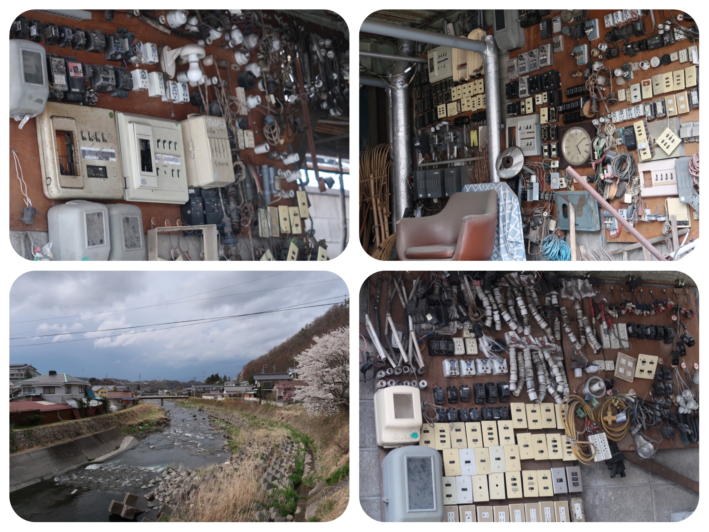
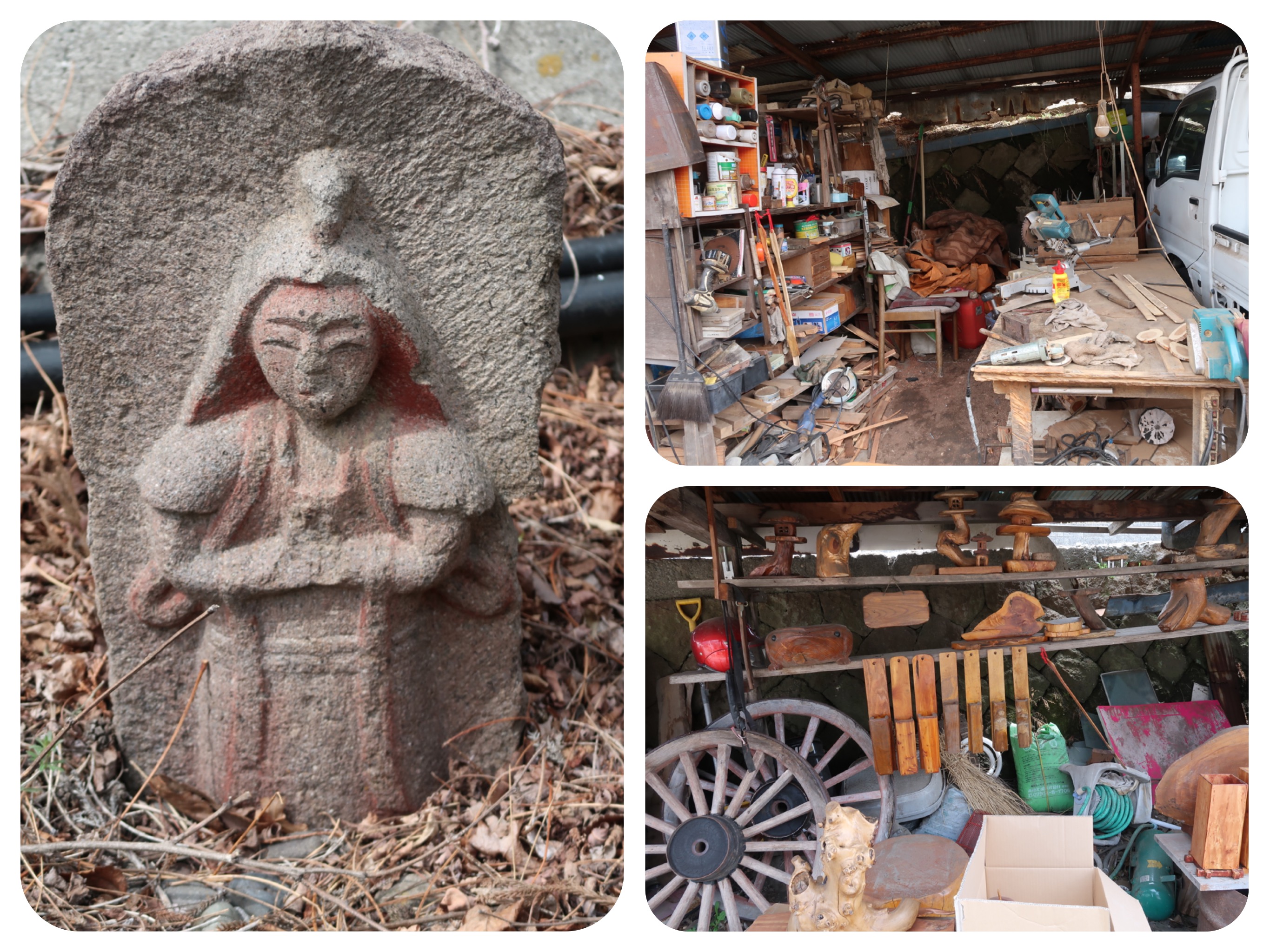
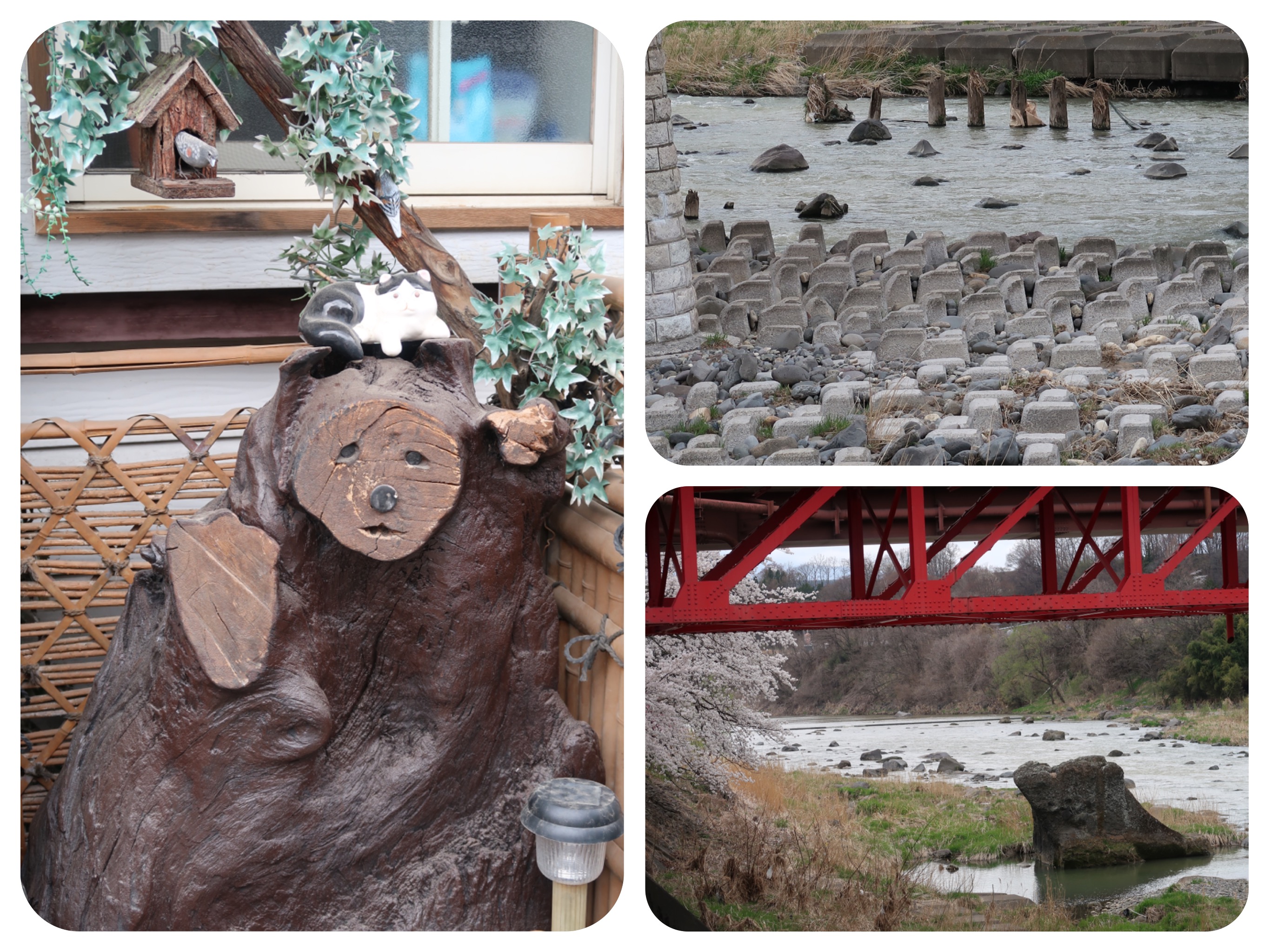
We passed by an area with several shops that looked like they were meant to be antiques shops, but ended up looking like junk yards.
We wondered if there were antique dealers and pawn shops in existence on the old Nakasendō.
Early in the afternoon, it started to drizzle.
We stopped frequently to put on our rain coats, only to take them off again, as the sun came out.
Finally the rain started to fall more strongly.
We used the shelter of people’s open garages and put on the rain covers for our backpacks.
We have the habit of packing everything inside our backpacks in zip lock bags and dry sacks, so even if we do get soaked in the rain, we won’t damage our electronics, and we still will have a set of dry clothes to change into.
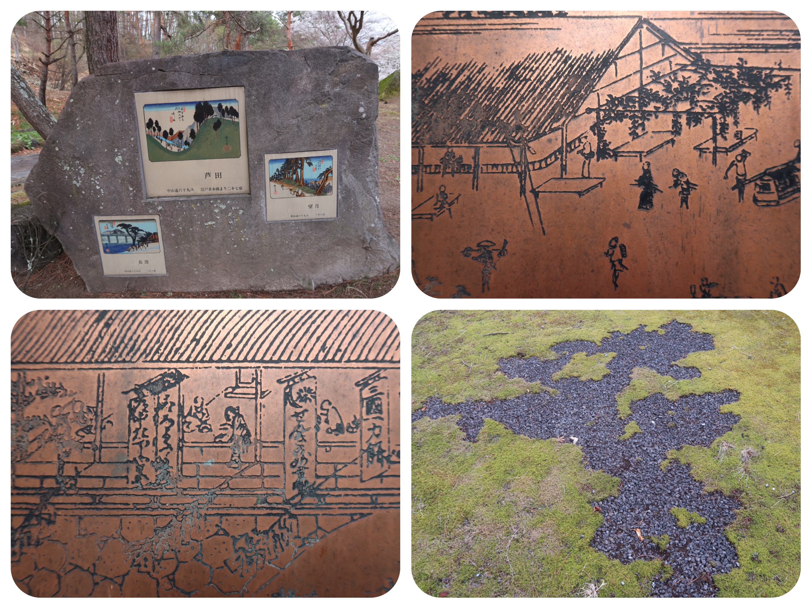
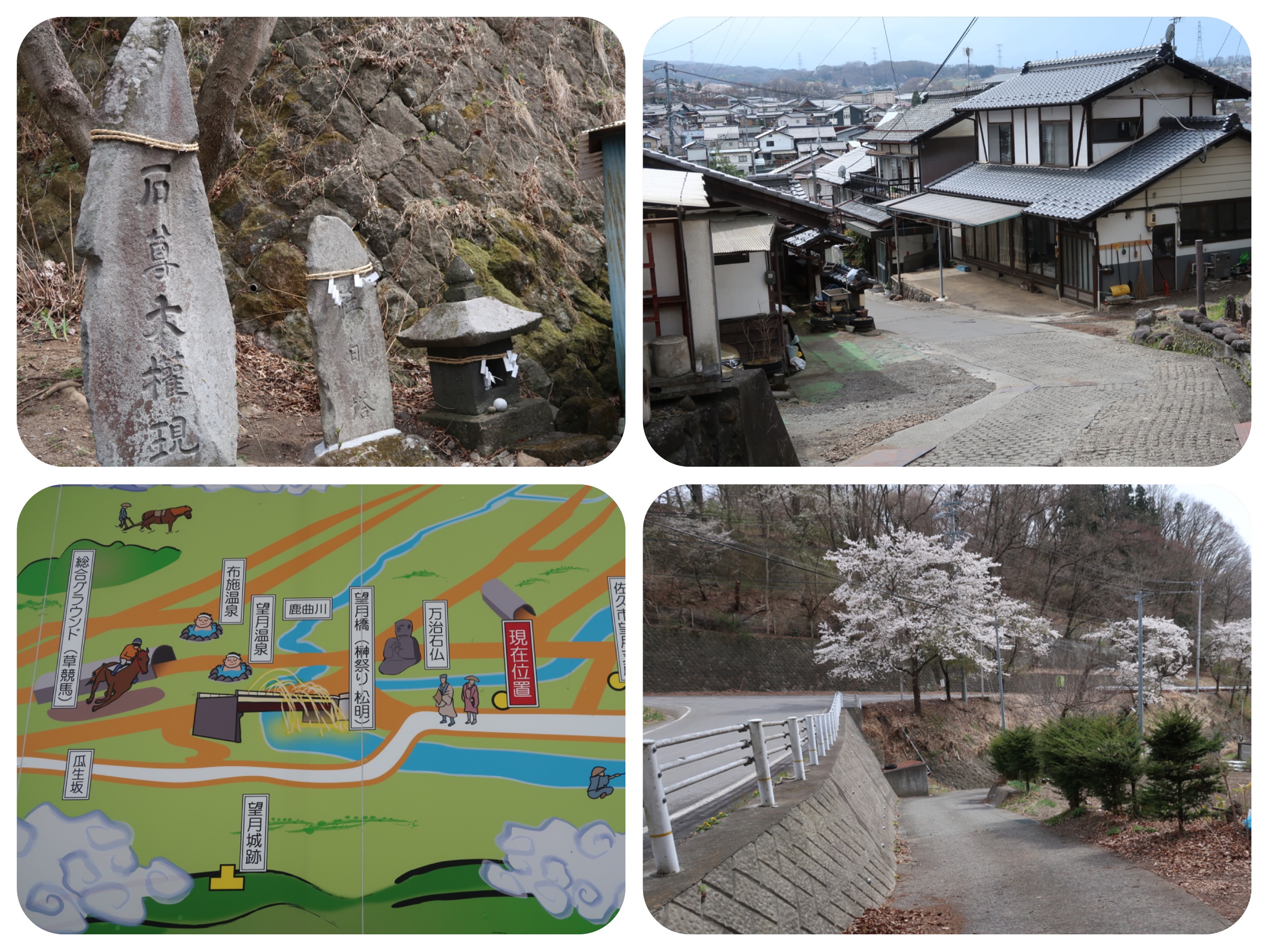
In Ashida-Juku, we stopped at the information center that also houses a historical museum of the Nakasendo, with maps and explanations about the history of the trail through this region.
They had free hot tea, tables and chairs to sit, and great toilets.
I really wanted to stop for a rest and to look at Hotels.com over a cup of tea, but we had promised our guesthouse in Nagakubo that we would arrive at six in the evening. It was getting late and I knew that we still had to walk in the rain for about an hour and a half.
I asked the woman at the information desk if we would have to climb a mountain on our way to Nagakubo.
She didn’t speak English, and I didn’t know the word for a mountain pass (now I know that a mountain pass is Togé in Japanese).
She said that no, there are no high mountains on the way and that we are only about five or six Kilometers away from Nagakubo.
Well... all I can tell you that she probably never walked with a backpack in heavy rain from Ashida to Nagakubo, because there was definitely a mountain pass in the way.
I told Jules that maybe she was trying to encourage us, seeing how tired, wet and cold we looked.
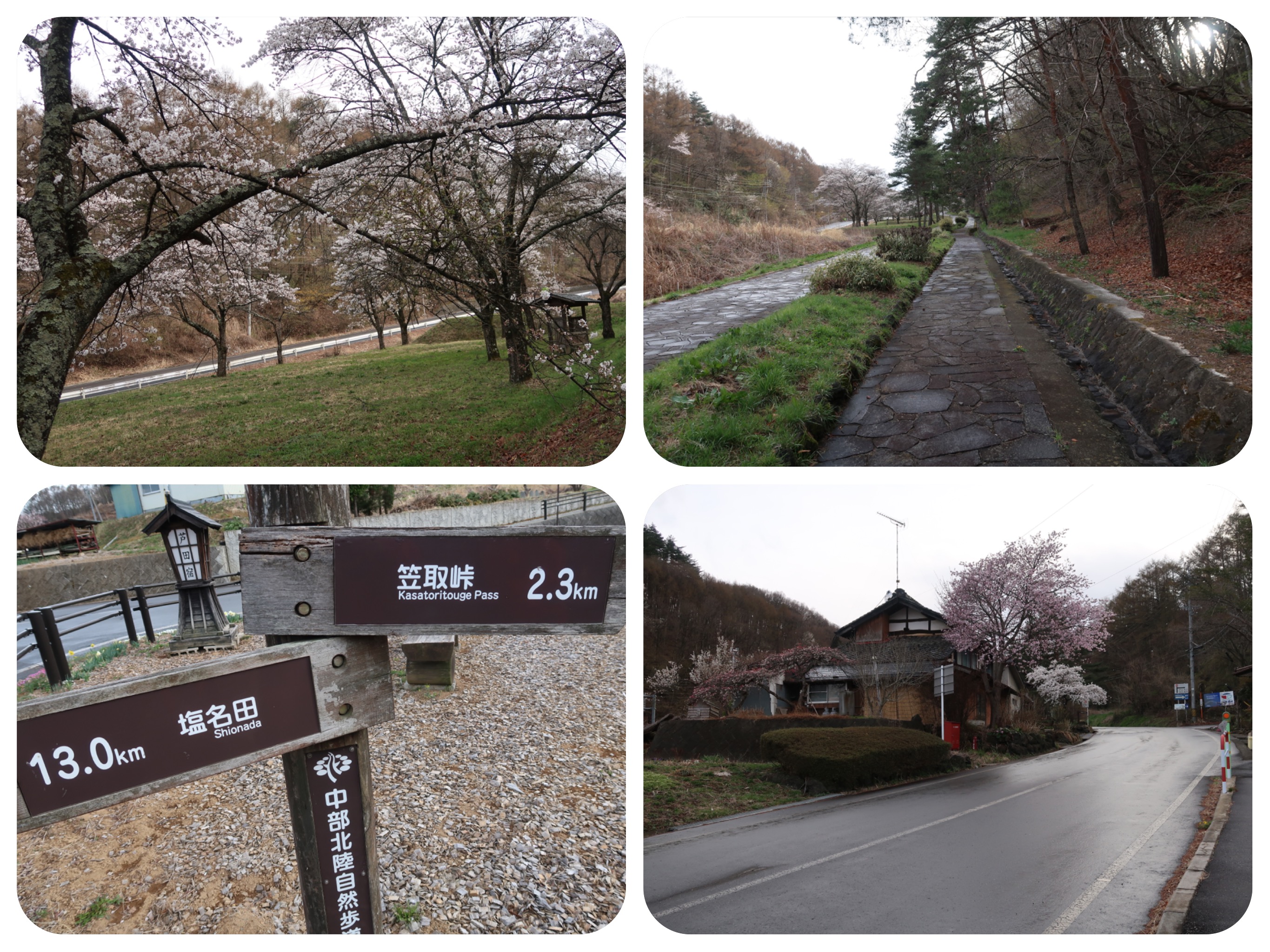
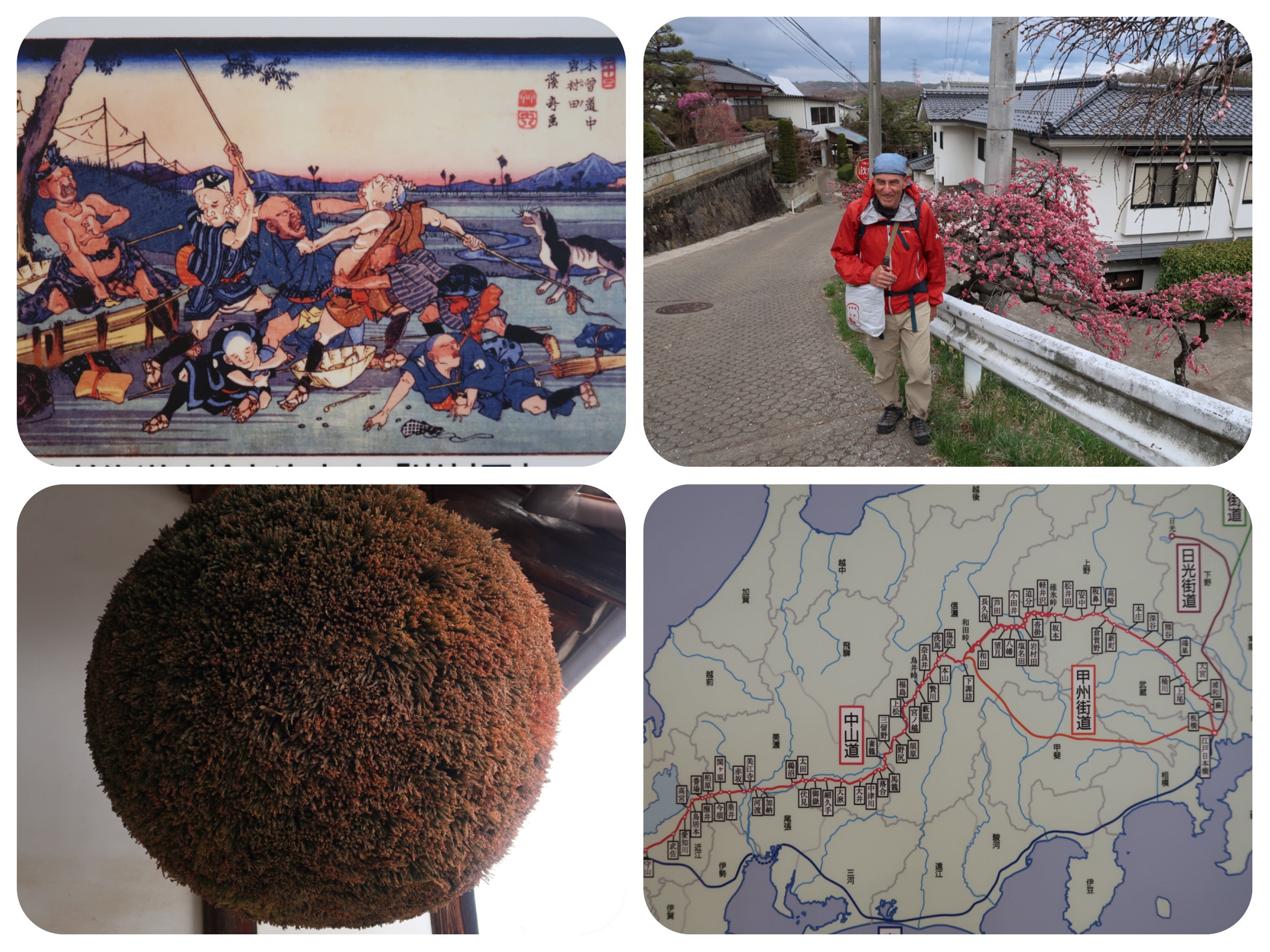
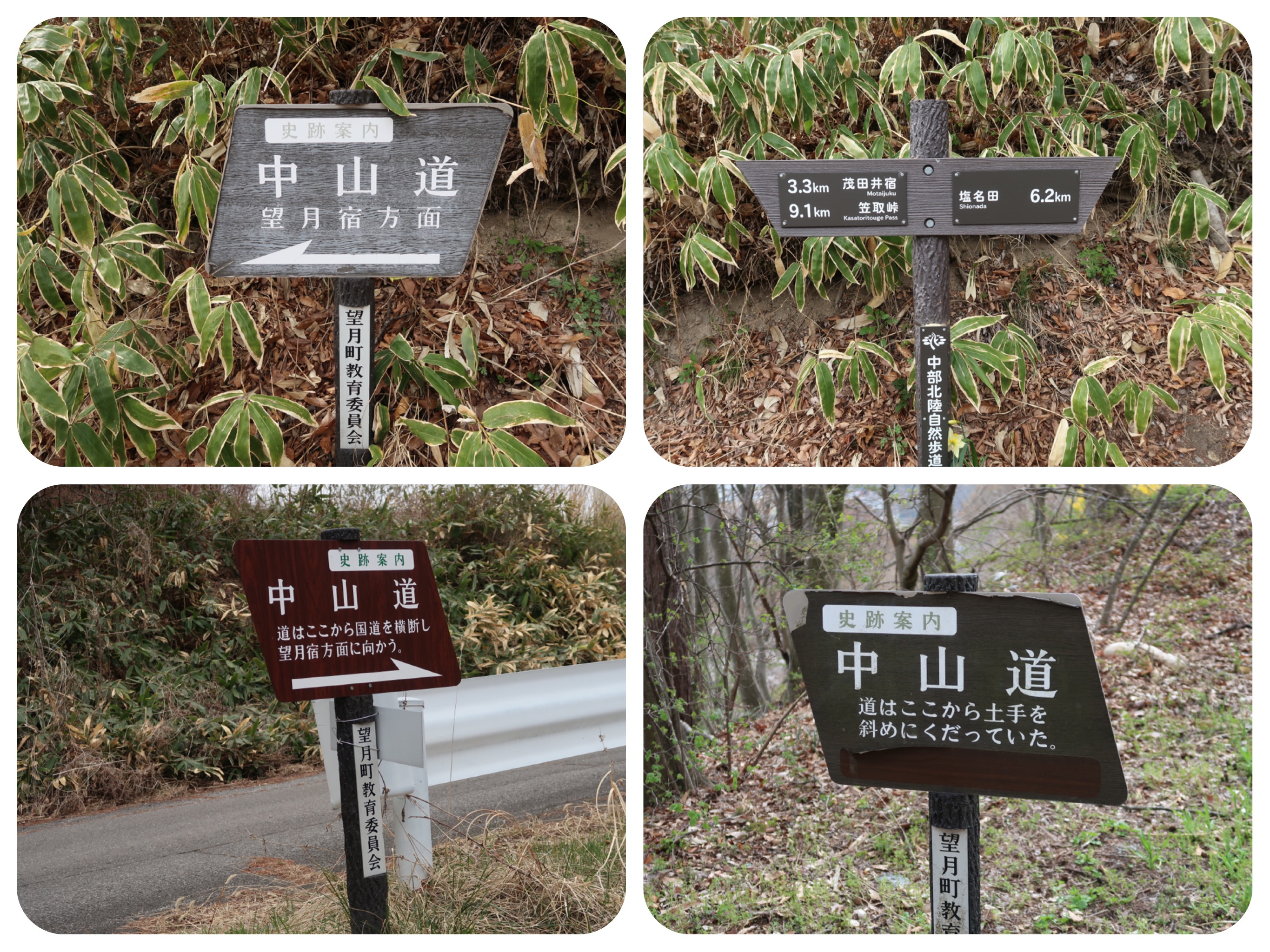
All day long we had seen signs for the Kasatoritoge pass, but we just didn’t know if we would have to cross it or if the Nakasendo would bypass it.
We kept walking up and up in the pouring rain.
I tried not to feel disheartened, singing to myself and quoting encouraging lines from the Course in Miracles in my mind.
The pedestrian path paralleled the highway with trucks gong up the pass.
I was happy we were not walking closer to the road, and not getting splashed by dirty water.
We arrived at the top of the Kasatoritoge pass, but it was too rainy to take out my camera and take pictures.
On the way down we entered a lovely path through the forest, but again it was too rainy to take photos.
It was a much longer walk than five kilometers into the small town of Nagabuko.
Our guesthouse, Hamadaya, is located right on the Nakasendo.
Remarkably, we had promised the guesthouse when we made the reservation a couple of days ago, that we would arrive around 6pm, and despite all of the rain today, we still arrived before dark, at around 6:15pm.
We apologized for arriving so wet that we were dripping rain water all over their entrance.
We asked them to fill our wet shoes with newspapers so they would be dry for our walk tomorrow.
As we continue following the Nakasendō, we have found that now, the signage guiding us on the road is excellent.
In fact, many times it is better than my maps, as signs take into account road construction and forest slippages, that are not showing up on my older app.
At the beginning, when we set out at Nihonbashi, there were hardly any directional signs.
Now they are clear and very frequent.
Our guesthouse had prepared our room for us with futon beds and with a Kotatsu.
A Kotatsu is a low, wooden table covered by a heavy blanket.
Underneath there is a heat source.
In the past, they used to put hot charcoal in a brazier, but today they have an electric heater built into the table itself.
We took off all our wet clothing and hung them up to dry.
Then we showered and bathed together in the bathroom, and scrubbed each other’s backs.
We then sat and warmed up with out tired feet inside the Kotatsu table.
I rubbed essential oils mixed with facial cream on our feet and we allowed our blisters to dry by the heater.
We told the owner that we would like to eat something for dinner.
She suggested driving us to the convenience store to buy something to eat, as they don’t offer dinners.
But we had no strength to dress up and go.
We were so cozy in our kimonos and warm room, we decided to skip dinner.
But they surprised us and brought up two large salads and hot rice with mushroom stew on it.
They didn’t even charge us for it.
We ate it with gratitude.
While we walked today in the rain, I kept thinking to myself that I couldn’t believe that after a long day like today, tomorrow we would still have to do the longest and hardest day of the pilgrimage, crossing the Wada Pass...
But tomorrow is a day away..
Hopefully we will recover and warm up soon.
Jules wrote a bit about the station towns we passed today:
Shionada-shuku, Station #23, is located on the eastern bank of the Shinano River, just across from Yawata-shuku.
Both Shionada-shuku and Yawata-shuku were first developed under the orders of Tokugawa Ieyasu after the Battle of Sekigahara, and then were further developed after the development of the Tōkaidō and the Nakasendō.
At its peak, the post town had about 10 small inns.
In 1844, it had two honjin (accommodations for upper class and royals) and one sub-honjin.
There was a bridge which connected Shionada and Yawata, but it was washed away by a flood and never rebuilt.
Instead, the river was crossed with a ferry.
Yawata-shuku, Station #24, is located on the west bank of the Shinano River, just across from Shionada-shuku, the previous post town.
Though these two post towns are located not much more than 500 meters away, Yawata-shuku was able to develop during the Keichō era in the early Edo period.
It was a comparatively small post town, but its prosperity came from it serving as a rest area at times when the Shinano River could not be crossed and as a distribution center for rice.
Located at the base of Mount Tateshina, Mochizuki, Station #25, has long been known for its horses.
The area received its name, which means "desirable moon," because it used to give horses to the Imperial Court and the shogunate on the day of the full moon.
Ashida-shuku, Station #26, was formed in 1601, during the Edo period, when the Nakasendō's route was altered and the government ordered creation of new post towns.
It was located near the eastern entrance to the Kasatoritoge Pass and was well known for its silk production.
Located between the Wada Pass and the Kasatoritoge Pass, two difficult parts along the Nakasendō, Nagakubo, Station #27, flourished as a post town under the Tokugawa shogunate.
Much of the original town was destroyed by a flood in 1631, and relocated a slight distance to higher ground.
As the town developed, its row houses eventually spread to side streets, giving it the rare shape of a key.
In 1843, there were over 187 inns in which travelers could rest, including one Honjin, one sub -honjin, and 43 Hatago, (a guest house with meals) with a total resident population of 721 people.
Many of the buildings of Nagakubo-shuku have been preserved, and the area is still a tourist attraction.
Day 11- Stats:
Total walking time 9.5 hours
Active walking time 8 hours
Total steps: 42,115 steps
Daily Kilometers 31 Kilometers
Total Kilometers walked up to date: 272.5 Kilometers
Total elevation climbed 2,105 meters
Total descent 2,121 meters
Maximum Altitude reached 890 meters
Accommodation: Hamadaya Guest house in Nagakubo
Station Towns visited in Nagano Prefecture:
22. Iwamurada-shuku (Saku)
23. Shionada-shuku (Saku)
24. Yawata-shuku (Saku)
25. Mochizuki-shuku (Saku)
26. Ashida-shuku (Tateshina, Kitasaku District)
27. Nagakubo-shuku (Nagawa, Chiisagata District)


